Transport Functions
Rail
Airport
Hub Profile
Place type
Provincial seat
Region
Grand Est
Population
39,518
Time zone
Europe/Paris
Elevation
388 m
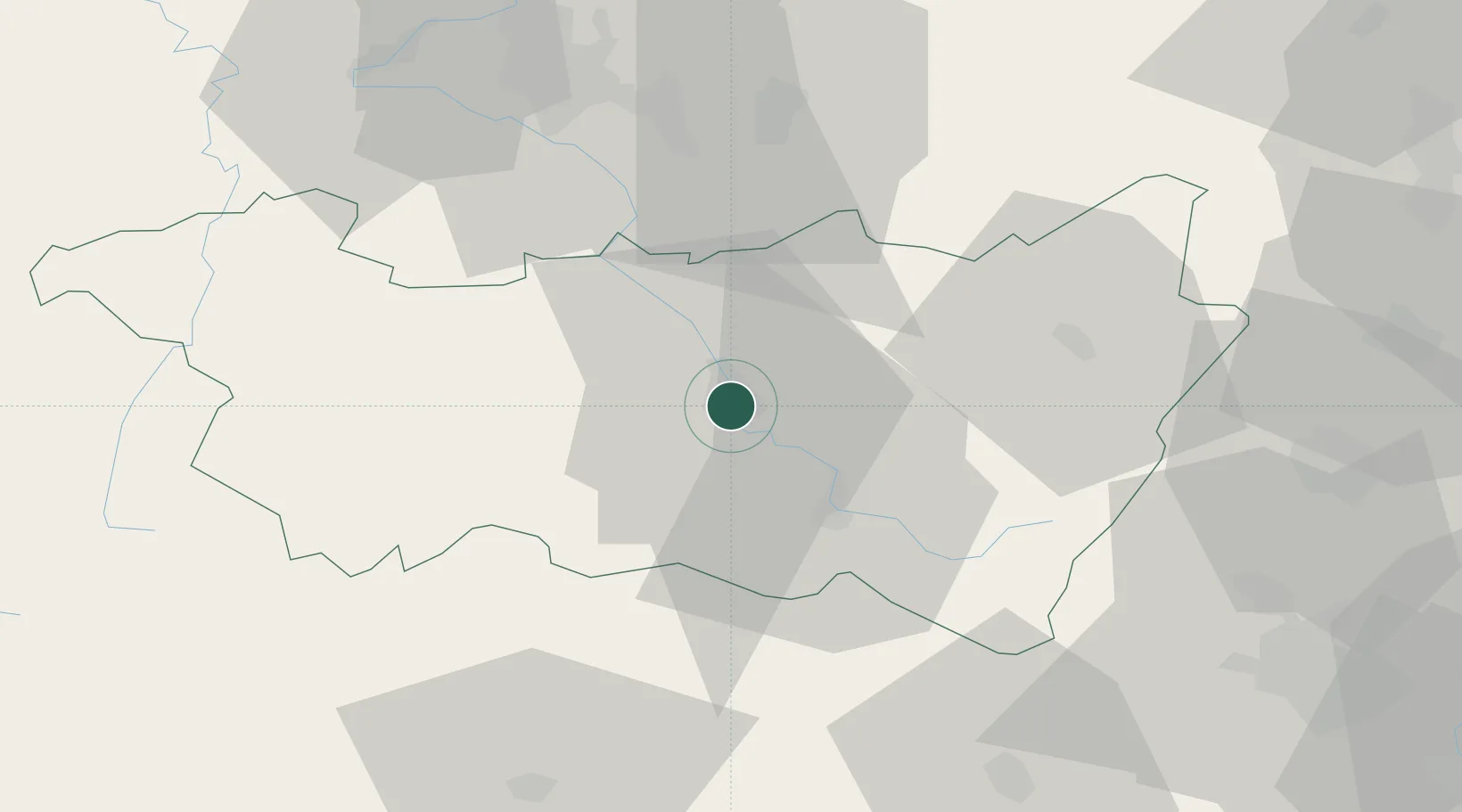
Location
Nearby Logistics Neighbours
Cities
- 1Chaumousey9 km
- 2Arches9 km
- 3Girmont9 km
- 4Igney10 km
- 5Domèvre-sur-Durbion11 km
Airports
Trade Zones
- 1ZFU Maxéville, Laxou, et de Nancy62 km
- 2ZFU Belfort65 km
- 3ZFU Montbéliard80 km
- 4ZFU Mulhouse82 km
- 5ZFU Hautepierre103 km
DatabookThe Record of Consolidated Knowledge
France beyond logistics?