Transport Functions
Port
Road
Hub Profile
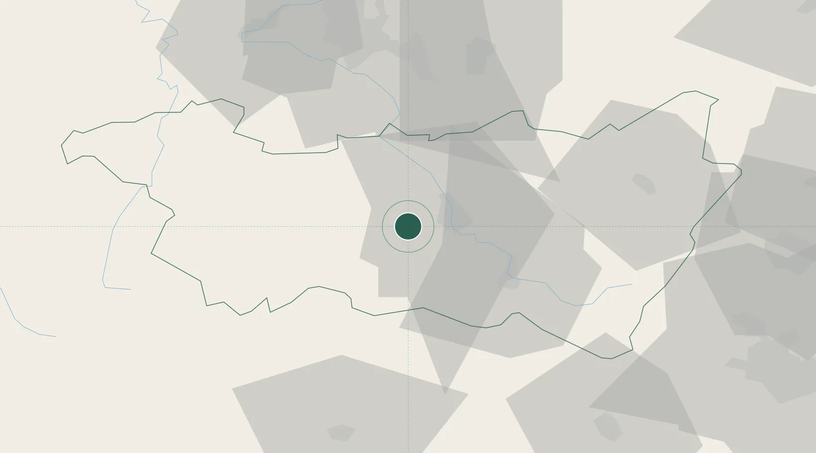
Place type
Populated place
Region
Grand Est
Population
799
Time zone
Europe/Paris
Elevation
361 m
Location
Nearby Logistics Neighbours
Airports
Trade Zones
- 1ZFU Maxéville, Laxou, et de Nancy61 km
- 2ZFU Belfort68 km
- 3ZFU Montbéliard81 km
- 4ZFU Mulhouse88 km
- 5ZFU Metz105 km
DatabookThe Record of Consolidated Knowledge
France beyond logistics?