Transport Functions
Port
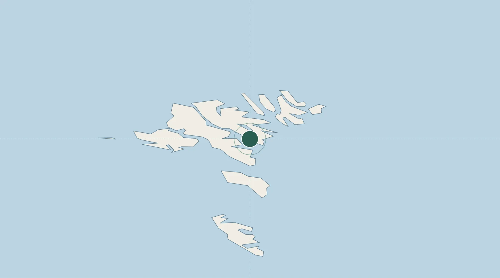
Hub Profile
Place type
Populated place
Region
Eysturoy
Population
964
Time zone
Atlantic/Faroe
Elevation
49 m
Location
Nearby Logistics Neighbours
Cities
- 1Sjovar havn1 km
- 2Runavík2 km
- 3Strendur2 km
- 4Glyvrar4 km
- 5Skáli6 km
Ports
- 1Runavik2 km
- 2Torshavn11 km
- 3Klaksvik17 km
- 4Fuglafjordur17 km
- 5Vestmanna23 km
Airports
- 1Boðanes Heliport9 km
- 2Klaksvík Heliport15 km
- 3Koltur Heliport18 km
- 4Svínoy Heliport28 km
- 5Vágar Airport29 km
Trade Zones
DatabookThe Record of Consolidated Knowledge
Faroe Islands beyond logistics?