Transport Functions
Rail
Road
Multimodal
Hub Profile
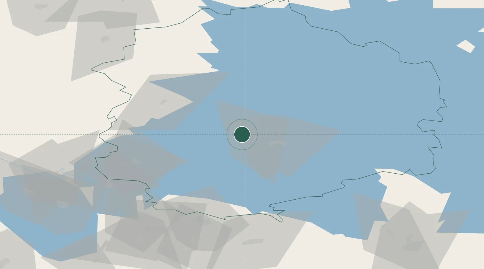
Region
11
Location
Nearby Logistics Neighbours
Cities
- 1Tammerfors (Tampere)10 km
- 2Pirkanmaa20 km
- 3Kantlax (Kaitalahti)23 km
- 4Kuru36 km
- 5Uskila50 km
Ports
- 1Pori95 km
- 2Mantyluoto111 km
- 3Tahkoluoto116 km
- 4Rauma123 km
- 5Kristinestad140 km
Airports
- 1Tampere-Pirkkala Airport15 km
- 2Halli Airport72 km
- 3Pori Airport95 km
- 4Kauhajoki Airfield119 km
- 5Seinäjoki Airport133 km
Trade Zones
- 1Turku Free Zone143 km
- 2Freeport of Hanko195 km
- 3Port of Hamina-Kotka217 km
- 4Paldiski Free Zone248 km
- 5Free Zone of Lappeenranta248 km
DatabookThe Record of Consolidated Knowledge
Finland beyond logistics?