Transport Functions
Multimodal
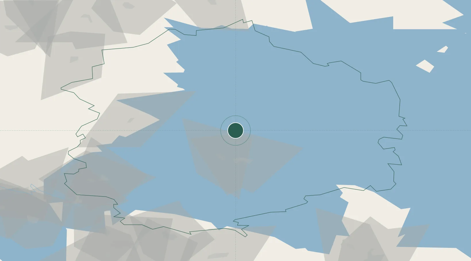
Location
Nearby Logistics Neighbours
Cities
- 1Kantlax (Kaitalahti)7 km
- 2Kuru19 km
- 3Ylöjärvi20 km
- 4Tammerfors (Tampere)22 km
- 5Ruovesi35 km
Ports
- 1Pori108 km
- 2Mantyluoto122 km
- 3Tahkoluoto126 km
- 4Rauma140 km
- 5Kristinestad140 km
Airports
- 1Tampere-Pirkkala Airport33 km
- 2Halli Airport56 km
- 3Pori Airport108 km
- 4Kauhajoki Airfield112 km
- 5Seinäjoki Airport121 km
Trade Zones
- 1Turku Free Zone163 km
- 2Freeport of Hanko214 km
- 3Port of Hamina-Kotka218 km
- 4Free Zone of Lappeenranta242 km
- 5Paldiski Free Zone264 km
DatabookThe Record of Consolidated Knowledge
Finland beyond logistics?