Transport Functions
Port
Road
Hub Profile
Region
12
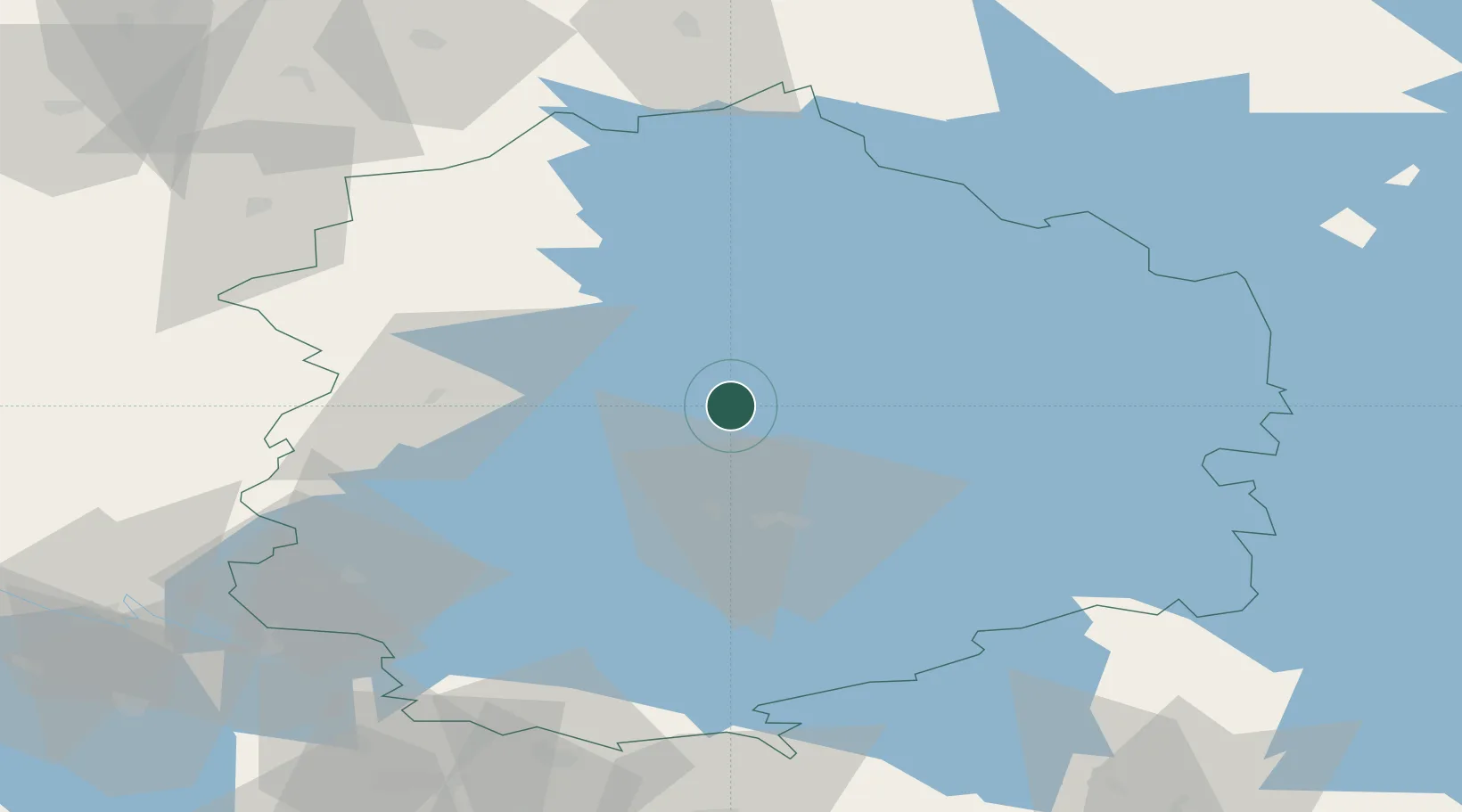
Location
Nearby Logistics Neighbours
Cities
- 1Pirkanmaa7 km
- 2Kuru13 km
- 3Ylöjärvi23 km
- 4Tammerfors (Tampere)28 km
- 5Ruovesi32 km
Ports
- 1Pori106 km
- 2Mantyluoto119 km
- 3Tahkoluoto123 km
- 4Kristinestad135 km
- 5Rauma139 km
Airports
- 1Tampere-Pirkkala Airport38 km
- 2Halli Airport57 km
- 3Kauhajoki Airfield105 km
- 4Pori Airport106 km
- 5Seinäjoki Airport114 km
Trade Zones
- 1Turku Free Zone166 km
- 2Freeport of Hanko218 km
- 3Port of Hamina-Kotka224 km
- 4Free Zone of Lappeenranta247 km
- 5Paldiski Free Zone269 km
DatabookThe Record of Consolidated Knowledge
Finland beyond logistics?