Transport Functions
Port
Road
Hub Profile
Place type
Urban district
Region
Pirkanmaa
Time zone
Europe/Helsinki
Elevation
90 m
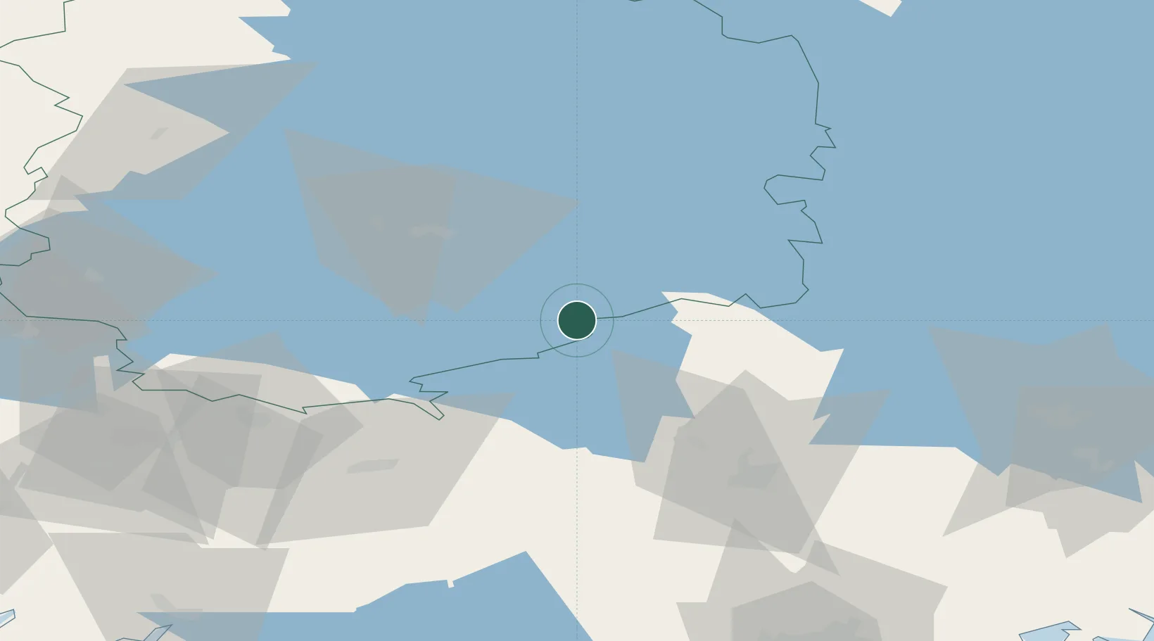
Location
Nearby Logistics Neighbours
Cities
- 1Parola23 km
- 2Tammerfors (Tampere)40 km
- 3Turenki41 km
- 4Janakkala42 km
- 5Ylöjärvi50 km
Airports
- 1Tampere-Pirkkala Airport40 km
- 2Halli Airport75 km
- 3Helsinki Vantaa Airport109 km
- 4Turku Airport134 km
- 5Utti Air Base149 km
Trade Zones
- 1Turku Free Zone141 km
- 2Port of Hamina-Kotka169 km
- 3Freeport of Hanko173 km
- 4Free Zone of Lappeenranta208 km
- 5Paldiski Free Zone211 km
DatabookThe Record of Consolidated Knowledge
Finland beyond logistics?