UN/LOCODE hub · Finland
FITMP

Tammerfors (Tampere)

61.5000°, 23.7500°
4
Transport functions

Transport Functions

Port
Rail
Airport
Border Crossing
UN/LOCODE

Hub Profile

Region
17
GeoNames

Location

Location of FITMP
Natural Earth 10m (public domain) · 17 · FITMP · 61.50, 23.75GoogleOSMYandex

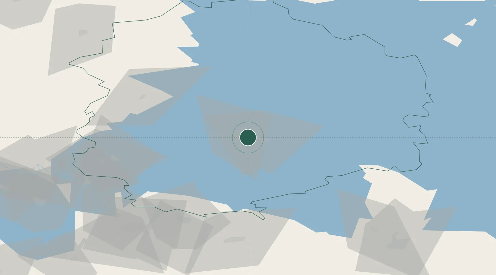
Nearby Logistics Neighbours

Cities
  1. 1Ylöjärvi10 km
  2. 2Pirkanmaa22 km
  3. 3Kantlax (Kaitalahti)28 km
  4. 4Uskila40 km
  5. 5Kuru41 km
Nearest neighbours — logibook spatial index (haversine) over the source coordinates
Ports
  1. 1Pori104 km
  2. 2Mantyluoto121 km
  3. 3Tahkoluoto125 km
  4. 4Rauma130 km
  5. 5Turku143 km
Nearest neighbours — logibook spatial index (haversine) over the source coordinates
Airports
  1. 1Tampere-Pirkkala Airport12 km
  2. 2Halli Airport68 km
  3. 3Pori Airport104 km
  4. 4Kauhajoki Airfield129 km
  5. 5Turku Airport136 km
Nearest neighbours — logibook spatial index (haversine) over the source coordinates
Trade Zones
  1. 1Turku Free Zone144 km
  2. 2Freeport of Hanko192 km
  3. 3Port of Hamina-Kotka207 km
  4. 4Free Zone of Lappeenranta239 km
  5. 5Paldiski Free Zone242 km
Nearest neighbours — logibook spatial index (haversine) over the source coordinates
DatabookThe Record of Consolidated Knowledge
Finland beyond logistics?
Browse databook

All Sources

LocationsUN/LOCODE
UN/LOCODE — free
Portsthe NGA World Port Index
Public domain (US gov)
AirportsOurAirports
Public domain
Trade Zonesthe World Bank SEZ database
CC BY 4.0
Trade ZonesOpen Zone Map
CC BY
← Finland locations