Transport Functions
Port
Road
Hub Profile
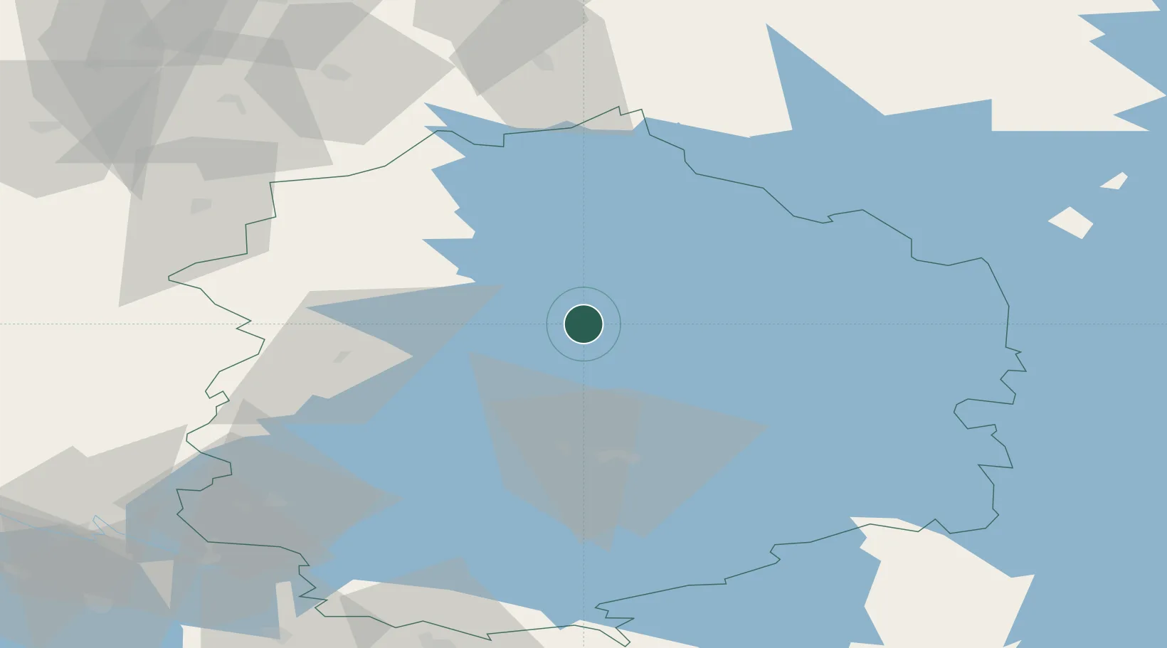
Place type
Populated place
Region
Pirkanmaa
Time zone
Europe/Helsinki
Elevation
92 m
Location
Nearby Logistics Neighbours
Cities
- 1Kantlax (Kaitalahti)13 km
- 2Pirkanmaa19 km
- 3Ruovesi22 km
- 4Ylöjärvi36 km
- 5Virrat (Virdois)41 km
Ports
- 1Pori111 km
- 2Mantyluoto122 km
- 3Tahkoluoto126 km
- 4Kristinestad130 km
- 5Kaskinen142 km
Airports
- 1Tampere-Pirkkala Airport51 km
- 2Halli Airport55 km
- 3Kauhajoki Airfield96 km
- 4Seinäjoki Airport103 km
- 5Pori Airport112 km
Trade Zones
- 1Turku Free Zone178 km
- 2Freeport of Hanko231 km
- 3Port of Hamina-Kotka232 km
- 4Free Zone of Lappeenranta250 km
- 5Paldiski Free Zone282 km
DatabookThe Record of Consolidated Knowledge
Finland beyond logistics?