UN/LOCODE hub · Finland
FIEJO

Euraåminne (Eurajoki)

61.2000°, 21.7333°
1
Transport functions

Transport Functions

Port
UN/LOCODE

Hub Profile

Region
17
GeoNames

Location

Location of FIEJO
Natural Earth 10m (public domain) · 17 · FIEJO · 61.20, 21.73GoogleOSMYandex

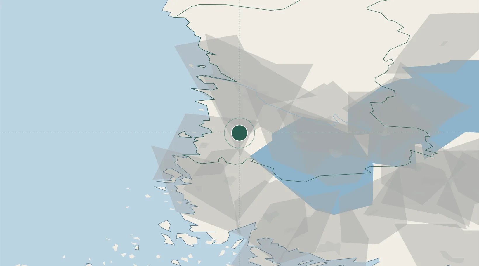
Nearby Logistics Neighbours

Cities
  1. 1Olkiluoto14 km
  2. 2Rauma (Raumo)18 km
  3. 3Luvia18 km
  4. 4Ulvila27 km
  5. 5Björneborg (Pori)32 km
Nearest neighbours — logibook spatial index (haversine) over the source coordinates
Ports
  1. 1Rauma18 km
  2. 2Pori32 km
  3. 3Mantyluoto46 km
  4. 4Uusikaupunki48 km
  5. 5Tahkoluoto51 km
Nearest neighbours — logibook spatial index (haversine) over the source coordinates
Airports
  1. 1Pori Airport29 km
  2. 2Turku Airport82 km
  3. 3Tampere-Pirkkala Airport103 km
  4. 4Kauhajoki Airfield145 km
  5. 5Mariehamn Airport156 km
Nearest neighbours — logibook spatial index (haversine) over the source coordinates
Trade Zones
  1. 1Turku Free Zone88 km
  2. 2Freeport of Hanko165 km
  3. 3Paldiski Free Zone244 km
  4. 4Muuga Free Zone278 km
  5. 5Stockholm Free Zone287 km
Nearest neighbours — logibook spatial index (haversine) over the source coordinates
DatabookThe Record of Consolidated Knowledge
Finland beyond logistics?
Browse databook

All Sources

LocationsUN/LOCODE
UN/LOCODE — free
Portsthe NGA World Port Index
Public domain (US gov)
AirportsOurAirports
Public domain
Trade Zonesthe World Bank SEZ database
CC BY 4.0
Trade ZonesOpen Zone Map
CC BY
← Finland locations