UN/LOCODE hub · Finland
FIFAH

Mellilä

60.7667°, 22.9167°
1
Transport functions

Transport Functions

Multimodal
UN/LOCODE

Hub Profile

Region
19
GeoNames

Location

Location of FIFAH
Natural Earth 10m (public domain) · 19 · FIFAH · 60.77, 22.92GoogleOSMYandex

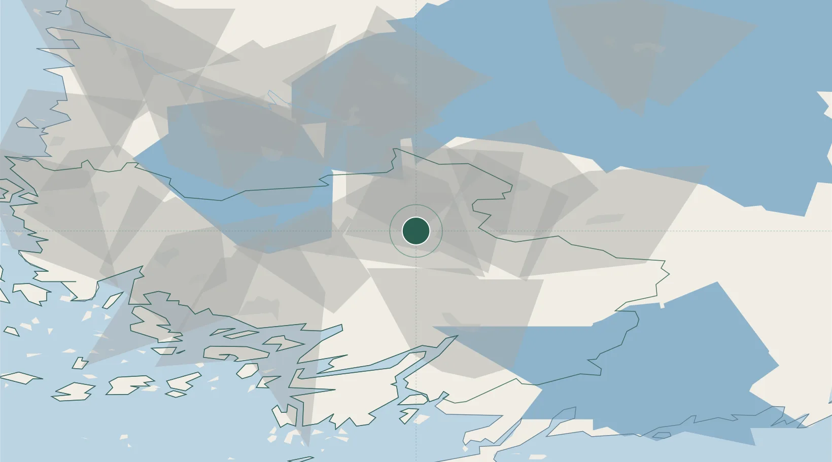
Nearby Logistics Neighbours

Cities
  1. 1Kyro12 km
  2. 2Kojonkulma21 km
  3. 3Alastaro21 km
  4. 4Aura27 km
  5. 5Jokioinen30 km
Nearest neighbours — logibook spatial index (haversine) over the source coordinates
Ports
  1. 1Turku51 km
  2. 2Naantali59 km
  3. 3Pargas71 km
  4. 4Uusikaupunki82 km
  5. 5Rauma89 km
Nearest neighbours — logibook spatial index (haversine) over the source coordinates
Airports
  1. 1Turku Airport45 km
  2. 2Tampere-Pirkkala Airport81 km
  3. 3Pori Airport98 km
  4. 4Helsinki Vantaa Airport123 km
  5. 5Halli Airport157 km
Nearest neighbours — logibook spatial index (haversine) over the source coordinates
Trade Zones
  1. 1Turku Free Zone53 km
  2. 2Freeport of Hanko104 km
  3. 3Paldiski Free Zone172 km
  4. 4Muuga Free Zone201 km
  5. 5Port of Hamina-Kotka222 km
Nearest neighbours — logibook spatial index (haversine) over the source coordinates
DatabookThe Record of Consolidated Knowledge
Finland beyond logistics?
Browse databook

All Sources

LocationsUN/LOCODE
UN/LOCODE — free
Portsthe NGA World Port Index
Public domain (US gov)
AirportsOurAirports
Public domain
Trade Zonesthe World Bank SEZ database
CC BY 4.0
Trade ZonesOpen Zone Map
CC BY
← Finland locations