Transport Functions
Rail
Road
Hub Profile
Place type
District seat
Region
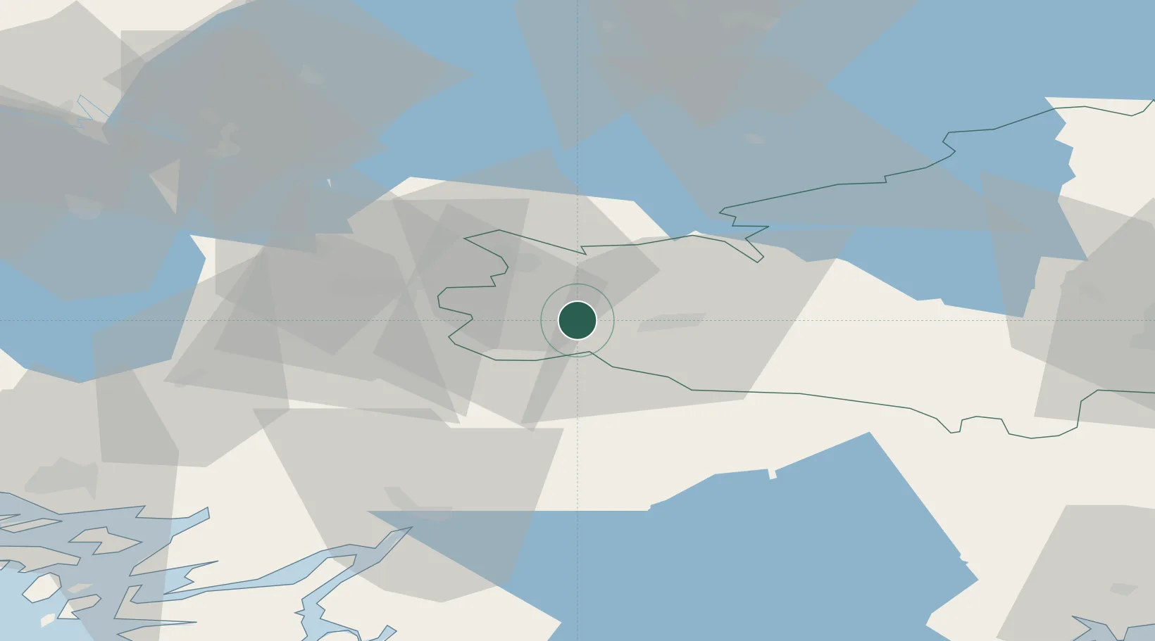
Kanta-Häme
Population
4,828
Time zone
Europe/Helsinki
Elevation
122 m
Location
Nearby Logistics Neighbours
Cities
- 1Humppila14 km
- 2Kojonkulma29 km
- 3Mellilä30 km
- 4Terttila30 km
- 5Alastaro36 km
Airports
- 1Tampere-Pirkkala Airport67 km
- 2Turku Airport73 km
- 3Helsinki Vantaa Airport100 km
- 4Pori Airport114 km
- 5Halli Airport136 km
Trade Zones
- 1Turku Free Zone79 km
- 2Freeport of Hanko114 km
- 3Paldiski Free Zone169 km
- 4Muuga Free Zone190 km
- 5Port of Hamina-Kotka194 km
DatabookThe Record of Consolidated Knowledge
Finland beyond logistics?