Transport Functions
Port
Road
Hub Profile
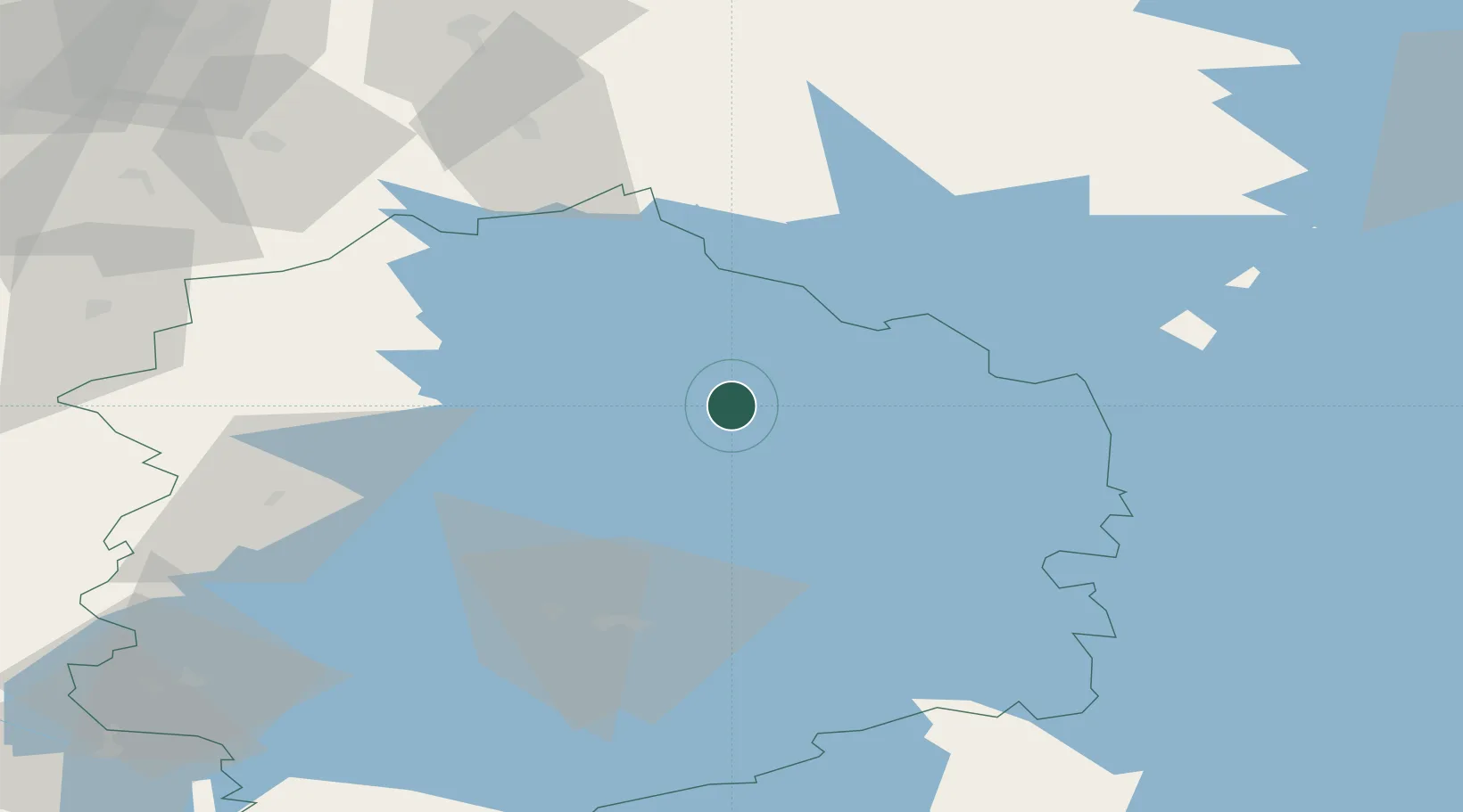
Place type
District seat
Region
Pirkanmaa
Population
4,002
Time zone
Europe/Helsinki
Elevation
134 m
Location
Nearby Logistics Neighbours
Cities
- 1Kuru22 km
- 2Vilppula23 km
- 3Kolho28 km
- 4Kantlax (Kaitalahti)32 km
- 5Virrat (Virdois)33 km
Airports
- 1Halli Airport39 km
- 2Tampere-Pirkkala Airport68 km
- 3Jyväskylä Airport95 km
- 4Seinäjoki Airport102 km
- 5Kauhajoki Airfield103 km
Trade Zones
- 1Turku Free Zone198 km
- 2Port of Hamina-Kotka227 km
- 3Free Zone of Lappeenranta238 km
- 4Freeport of Hanko248 km
- 5Paldiski Free Zone295 km
DatabookThe Record of Consolidated Knowledge
Finland beyond logistics?