Transport Functions
Port
Rail
Road
Hub Profile
Region
11
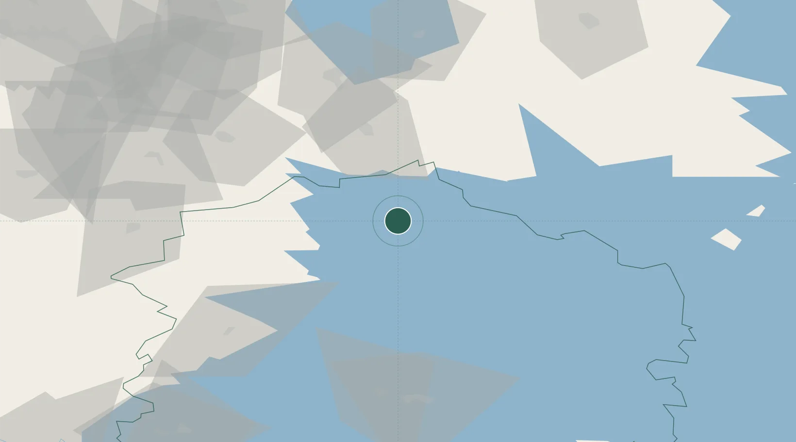
Location
Nearby Logistics Neighbours
Ports
- 1Kristinestad122 km
- 2Kaskinen131 km
- 3Pori132 km
- 4Mantyluoto138 km
- 5Tahkoluoto140 km
Airports
- 1Halli Airport68 km
- 2Seinäjoki Airport70 km
- 3Kauhajoki Airfield75 km
- 4Tampere-Pirkkala Airport91 km
- 5Jyväskylä Airport101 km
Trade Zones
- 1Turku Free Zone215 km
- 2Port of Hamina-Kotka260 km
- 3Free Zone of Lappeenranta266 km
- 4Freeport of Hanko271 km
- 5Oulu Port Free Warehouse Area318 km
DatabookThe Record of Consolidated Knowledge
Finland beyond logistics?