Transport Functions
Port
Hub Profile
Place type
Populated place
Region
Southwest Finland
Time zone
Europe/Helsinki
Elevation
85 m
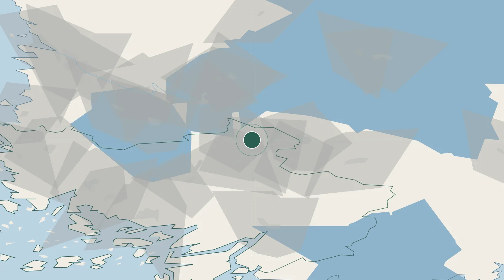
Location
Nearby Logistics Neighbours
Ports
- 1Turku69 km
- 2Naantali75 km
- 3Rauma85 km
- 4Pori87 km
- 5Uusikaupunki87 km
Airports
- 1Tampere-Pirkkala Airport61 km
- 2Turku Airport62 km
- 3Pori Airport85 km
- 4Helsinki Vantaa Airport129 km
- 5Halli Airport139 km
Trade Zones
- 1Turku Free Zone70 km
- 2Freeport of Hanko125 km
- 3Paldiski Free Zone190 km
- 4Muuga Free Zone216 km
- 5Port of Hamina-Kotka222 km
DatabookThe Record of Consolidated Knowledge
Finland beyond logistics?