Transport Functions
Multimodal
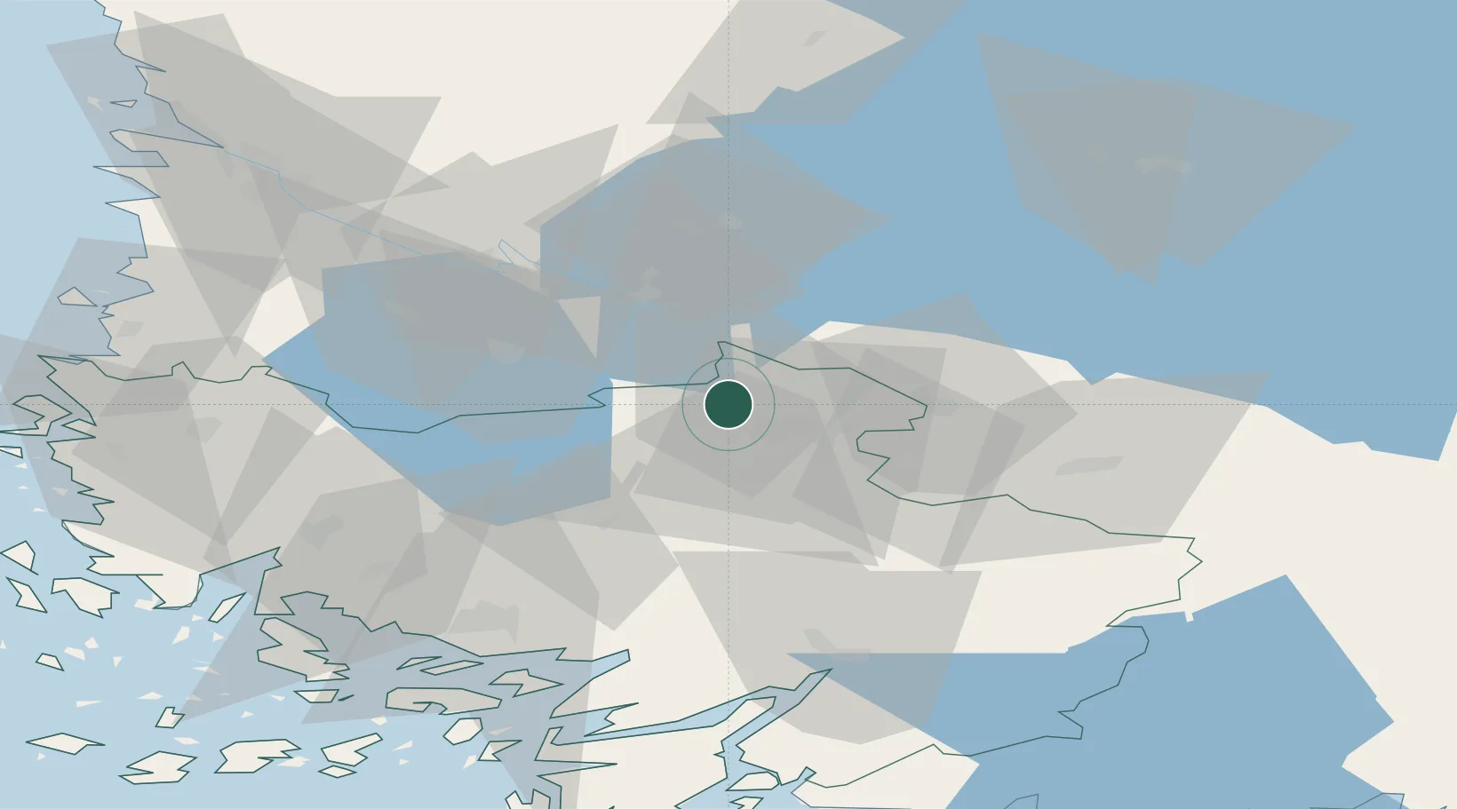
Hub Profile
Place type
District seat
Region
Southwest Finland
Time zone
Europe/Helsinki
Elevation
79 m
Location
Nearby Logistics Neighbours
Cities
- 1Kojonkulma7 km
- 2Mellilä21 km
- 3Humppila28 km
- 4Kyro28 km
- 5Jokioinen36 km
Ports
- 1Turku65 km
- 2Naantali70 km
- 3Rauma78 km
- 4Uusikaupunki80 km
- 5Pori82 km
Airports
- 1Turku Airport58 km
- 2Tampere-Pirkkala Airport66 km
- 3Pori Airport80 km
- 4Helsinki Vantaa Airport135 km
- 5Halli Airport144 km
Trade Zones
- 1Turku Free Zone66 km
- 2Freeport of Hanko125 km
- 3Paldiski Free Zone192 km
- 4Muuga Free Zone219 km
- 5Port of Hamina-Kotka229 km
DatabookThe Record of Consolidated Knowledge
Finland beyond logistics?