Transport Functions
Rail
Road
Multimodal
Hub Profile
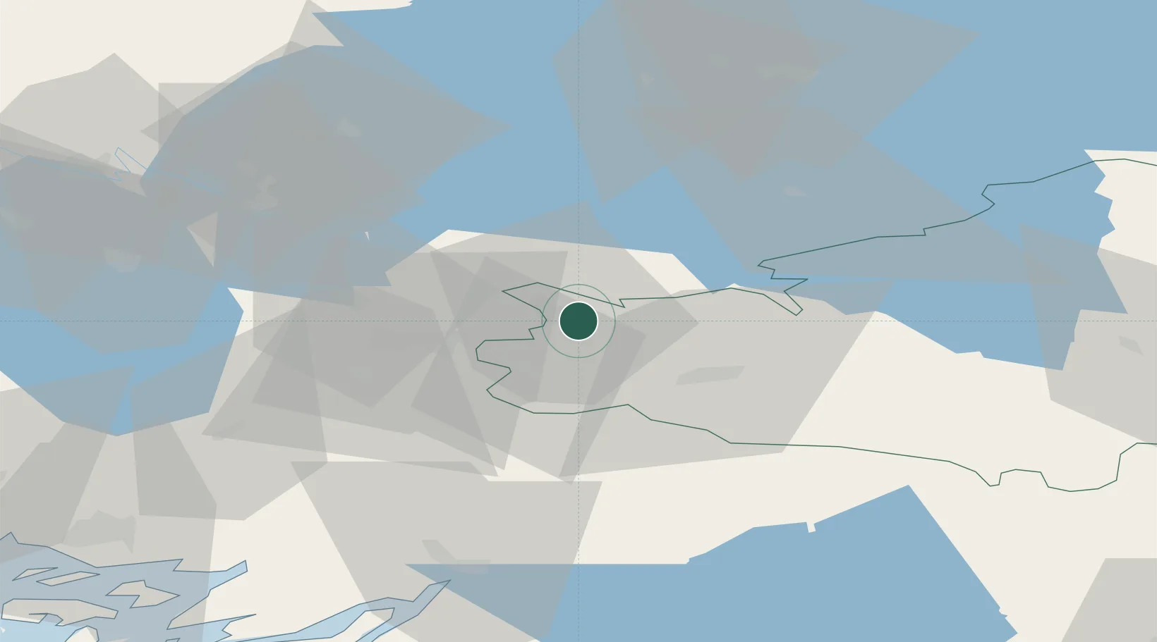
Place type
District seat
Region
Kanta-Häme
Population
2,084
Time zone
Europe/Helsinki
Elevation
109 m
Location
Nearby Logistics Neighbours
Cities
- 1Jokioinen14 km
- 2Kojonkulma21 km
- 3Alastaro28 km
- 4Mellilä31 km
- 5Kyro42 km
Airports
- 1Tampere-Pirkkala Airport55 km
- 2Turku Airport76 km
- 3Pori Airport102 km
- 4Helsinki Vantaa Airport111 km
- 5Halli Airport127 km
Trade Zones
- 1Turku Free Zone83 km
- 2Freeport of Hanko126 km
- 3Paldiski Free Zone182 km
- 4Port of Hamina-Kotka201 km
- 5Muuga Free Zone204 km
DatabookThe Record of Consolidated Knowledge
Finland beyond logistics?