Transport Functions
Rail
Road
Hub Profile
Place type
District seat
Region
Kanta-Häme
Time zone
Europe/Helsinki
Elevation
85 m
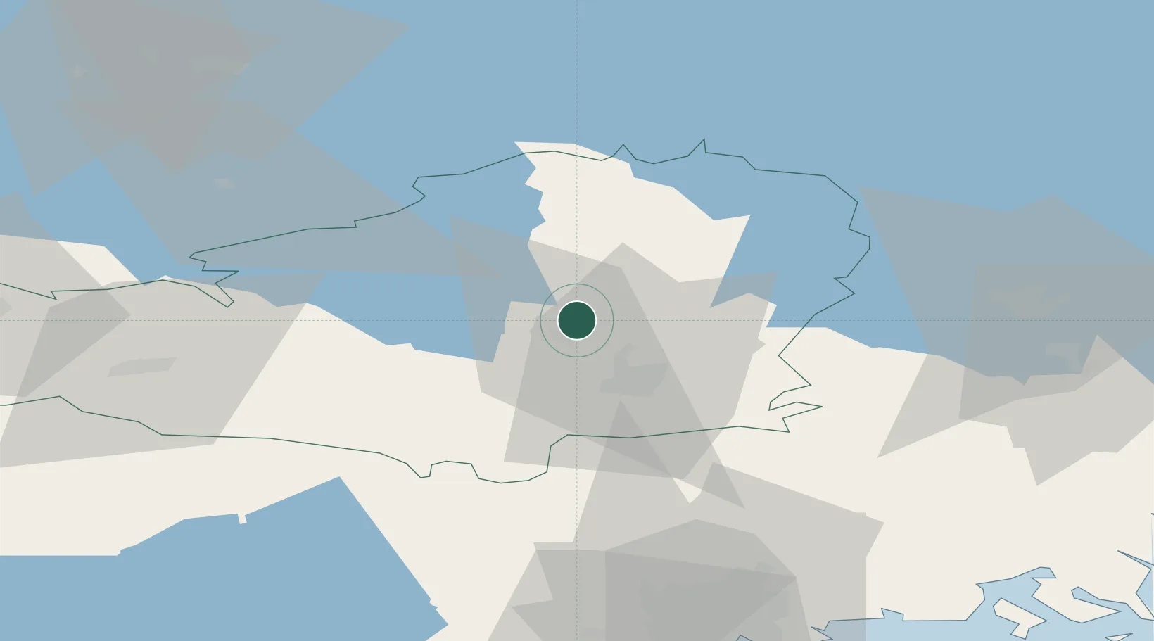
Location
Nearby Logistics Neighbours
Airports
- 1Helsinki Vantaa Airport69 km
- 2Tampere-Pirkkala Airport78 km
- 3Halli Airport105 km
- 4Helsinki East-Redstone Aerodrome117 km
- 5Utti Air Base125 km
Trade Zones
- 1Port of Hamina-Kotka135 km
- 2Turku Free Zone142 km
- 3Freeport of Hanko154 km
- 4Paldiski Free Zone179 km
- 5Muuga Free Zone181 km
DatabookThe Record of Consolidated Knowledge
Finland beyond logistics?