Transport Functions
Multimodal
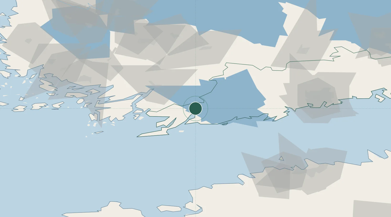
Hub Profile
Place type
Populated place
Region
Uusimaa
Time zone
Europe/Helsinki
Elevation
42 m
Location
Nearby Logistics Neighbours
Cities
- 1Pohjankuru (Skuru)2 km
- 2Tenala16 km
- 3Snappertuna16 km
- 4Ekenäs (Tammisaari)20 km
- 5Gullö22 km
Airports
- 1Helsinki Vantaa Airport81 km
- 2Turku Airport83 km
- 3Tallinn Linnahall Heliport102 km
- 4Ämari Air Base104 km
- 5Lennart Meri Tallinn Airport108 km
Trade Zones
- 1Freeport of Hanko50 km
- 2Turku Free Zone81 km
- 3Paldiski Free Zone94 km
- 4Muuga Free Zone124 km
- 5Port of Hamina-Kotka190 km
DatabookThe Record of Consolidated Knowledge
Finland beyond logistics?