Export Processing Zone · Ethiopia

Adama Special Economic Zone Active
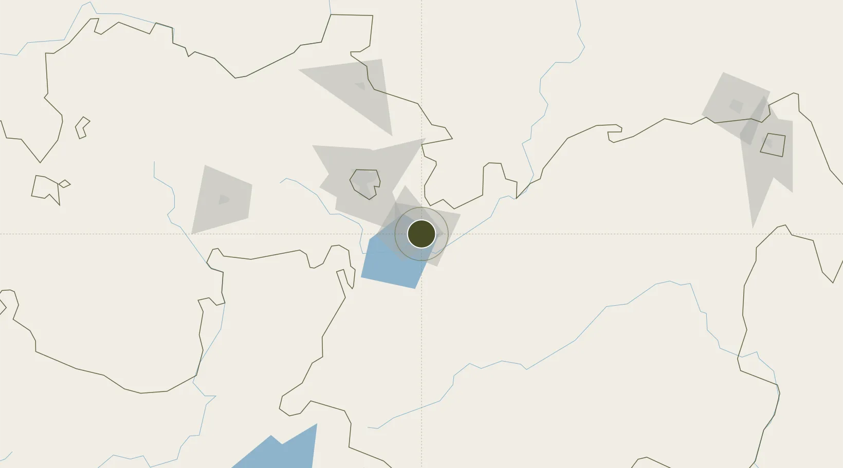
8.5479°, 39.2515°
130 ha
Zone area
540.2 km
Nearest port
32.9 km
Nearest airport

Gateway access

Nearest neighbours — logibook spatial index (haversine) over the source coordinates

Zone profile

Zone type
Export Processing Zone
Open Zone Map
Region
Oromiya
Open Zone Map
Status
Active
Open Zone Map
Management
Public
Open Zone Map
Operator
Ethiopian Investment Commission, DPFZA
Open Zone Map
Legal framework
Regulation No 417/2017 Industrial Parks Council of Ministers Regulation
Open Zone Map

Location

Location of ozm-1914
Natural Earth 10m (public domain) · Oromiya · ozm-1914 · 8.55, 39.25GoogleOSMYandex

Nearby Logistics Neighbours

Ports
  1. 1Doraleh540 km
  2. 2Djibouti544 km
  3. 3Assab625 km
  4. 4Berbera667 km
  5. 5Al Mukha687 km
Nearest neighbours — logibook spatial index (haversine) over the source coordinates
Airports
  1. 1Harar Meda Airport33 km
  2. 2Addis Ababa Bole International Airport69 km
  3. 3Hawassa International Airport187 km
  4. 4Jimma Airport285 km
  5. 5Kombolcha Airport290 km
Nearest neighbours — logibook spatial index (haversine) over the source coordinates
Cities
  1. 1Mojo Dry Port13 km
  2. 2Mojo16 km
  3. 3Kembolcha243 km
  4. 4Dubti407 km
  5. 5Camp Lemonier539 km
Nearest neighbours — logibook spatial index (haversine) over the source coordinates
Trade Zones
  1. 1Adama Industrial Park7 km
  2. 2George Shoe Industrial Park17 km
  3. 3Eastern Industrial Zone Industrial Development Zone - Dukem44 km
  4. 4CCCC Arerti Industrial Park45 km
  5. 5Arerti Industrial Park45 km
Nearest neighbours — logibook spatial index (haversine) over the source coordinates
DatabookThe Record of Consolidated Knowledge
Ethiopia beyond logistics?
Browse databook

All Sources

Trade ZonesOpen Zone Map
CC BY
Portsthe NGA World Port Index
Public domain (US gov)
AirportsOurAirports
Public domain
LocationsUN/LOCODE
UN/LOCODE — free
← Ethiopia trade zones