Large airport · Ethiopia
Addis Ababa Bole International AirportHAAB
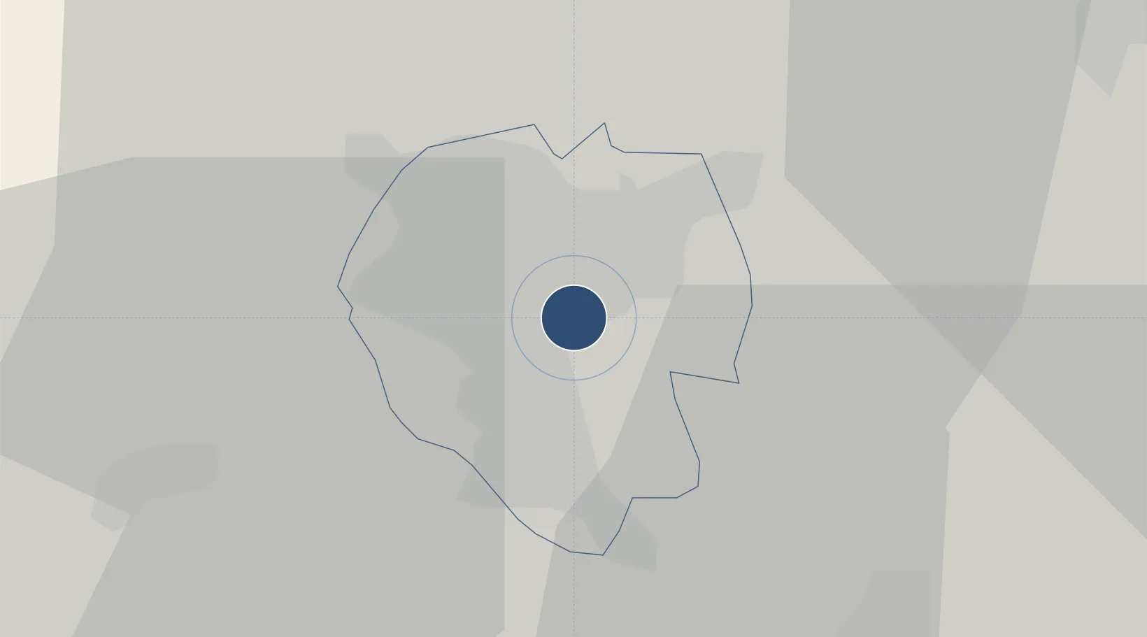
8.9779°, 38.7993°
12,467 ft
Longest runway
2
Runways
7,630 ft
Elevation
Runway & Layout

Radio Frequencies
ATIS
128.5 MHz
TWR
118.1 MHz
GND
121.9 MHz
Bole GND
APP
119.7 MHz
CTAF
118.5 MHz
oshkosh traffic
East
125.2 MHz
Addis center
West
125.1 MHz
Addis center
Navaids
AB NDB Addis Abeba 333 kHz
ADS VOR-DME Addis Abeba 112.90 MHz
BL NDB Bole 352 kHz
GWZ VOR-DME Gawasa 115.90 MHz
Runways · 2
| Runway | Dimensions | Surface | True heading | Lit |
|---|---|---|---|---|
| 07R/25L | 12,467 × 148ft | Asphalt | 074° | ✓ |
| 07L/25R | 12,139 × 148ft | Asphalt | 074° | ✓ |
Airport Specifications
IATA code
ADD
ICAO code
HAAB
Airport class
Large airport
Scheduled service
Yes
Runway surface
Asphalt
Served city
Addis Ababa
Location
Nearby Logistics Neighbours
Airports
- 1Harar Meda Airport37 km
- 2Hawassa International Airport213 km
- 3Kombolcha Airport258 km
- 4Jimma Airport262 km
- 5Bahir Dar Airport334 km
Cities
- 1Mojo55 km
- 2Mojo Dry Port59 km
- 3Kembolcha310 km
- 4Dubti395 km
- 5Camp Lemonier553 km
DatabookThe Record of Consolidated Knowledge
Ethiopia beyond logistics?