Large airport · Ethiopia

Hawassa International AirportHALA
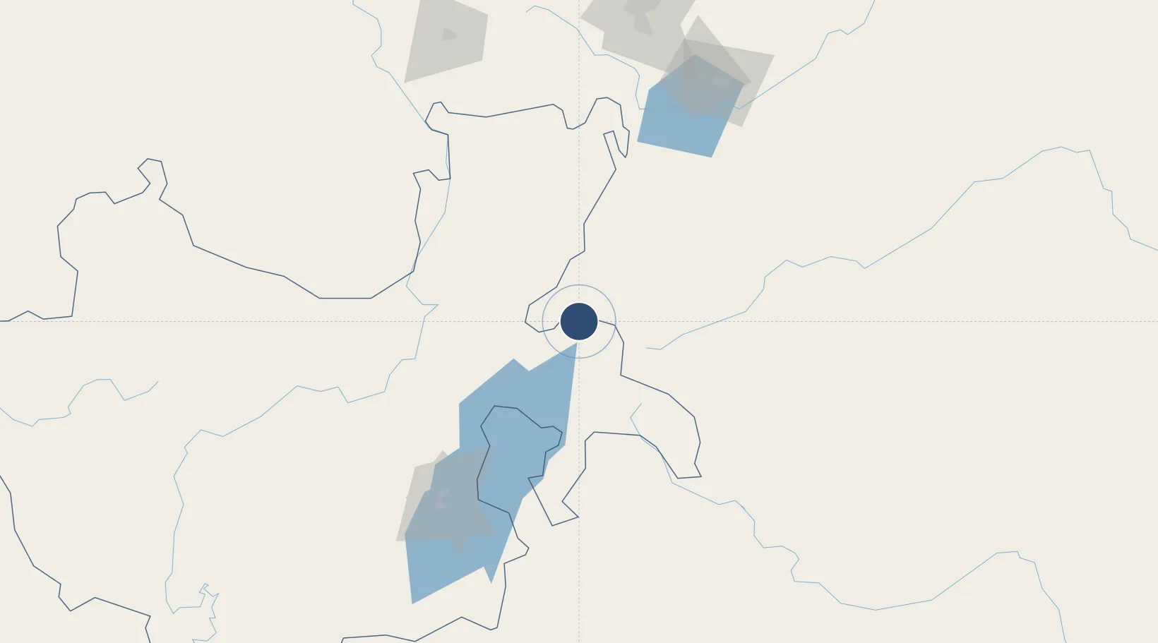
7.1006°, 38.3965°
9,843 ft
Longest runway
1
Runways
5,450 ft
Elevation

Runway & Layout

Hawassa International Airport runway & taxiway layout
Runway & taxiway layout — OpenStreetMap (ODbL) / OurAirports

Runways · 1

RunwayDimensions SurfaceTrue headingLit
01/19 9,843 × 148ft ASPH
OurAirports

Airport Specifications

IATA code
AWA
OurAirports
ICAO code
HALA
OurAirports
Airport class
Large airport
OurAirports
Scheduled service
Yes
OurAirports
Runway surface
ASPH
OurAirports
Served city
Hawassa
OurAirports

Location

Location of HALA
Natural Earth 10m (public domain) · Southern Nations, Nationalities and Peoples · HALA · 7.10, 38.40GoogleOSMYandex

Nearby Logistics Neighbours

Airports
  1. 1Arba Minch Airport148 km
  2. 2Jimma Airport185 km
  3. 3Harar Meda Airport192 km
  4. 4Addis Ababa Bole International Airport213 km
  5. 5Baco Airport253 km
Nearest neighbours — logibook spatial index (haversine) over the source coordinates
Cities
  1. 1Mojo Dry Port182 km
  2. 2Mojo185 km
  3. 3Kembolcha311 km
  4. 4Dubti594 km
  5. 5Moroto659 km
Nearest neighbours — logibook spatial index (haversine) over the source coordinates
Ports
  1. 1Doraleh718 km
  2. 2Djibouti721 km
  3. 3Assab811 km
  4. 4Berbera817 km
  5. 5Al Mukha872 km
Nearest neighbours — logibook spatial index (haversine) over the source coordinates
Trade Zones
  1. 1Hawassa Industrial Development Zone12 km
  2. 2George Shoe Industrial Park184 km
  3. 3Jimma Industrial Park184 km
  4. 4Adama Industrial Park186 km
  5. 5Adama Special Economic Zone187 km
Nearest neighbours — logibook spatial index (haversine) over the source coordinates
DatabookThe Record of Consolidated Knowledge
Ethiopia beyond logistics?
Browse databook

All Sources

AirportsOurAirports
Public domain
Portsthe NGA World Port Index
Public domain (US gov)
LocationsUN/LOCODE
UN/LOCODE — free
Trade Zonesthe World Bank SEZ database
CC BY 4.0
Trade ZonesOpen Zone Map
CC BY
InfrastructureOpenStreetMap
ODbL 1.0
← Ethiopia airports