Export Processing Zone · Ethiopia

George Shoe Industrial Park Active
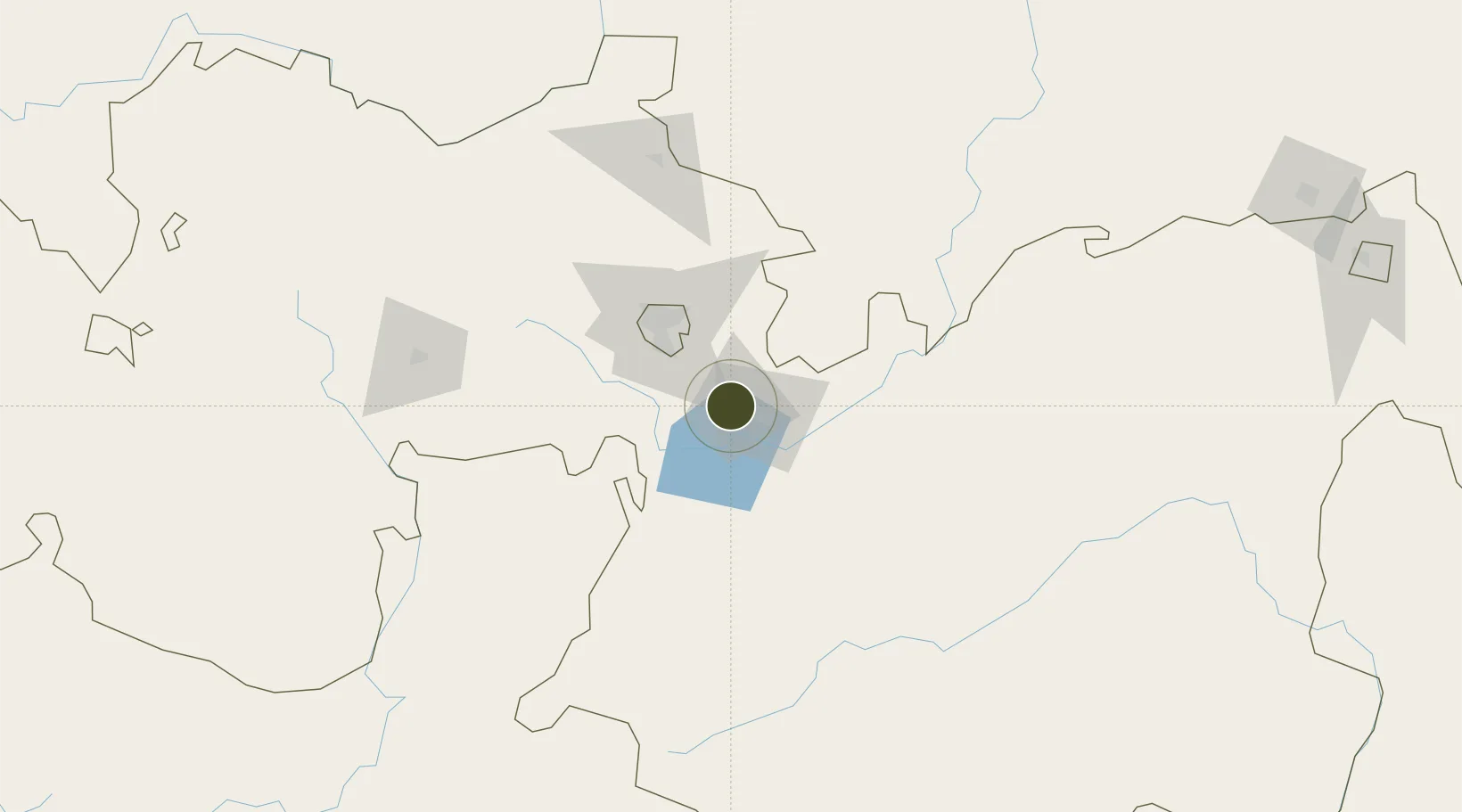
8.5963°, 39.1046°
80 ha
Zone area
549.5 km
Nearest port
17.2 km
Nearest airport

Gateway access

Nearest neighbours — logibook spatial index (haversine) over the source coordinates

Zone profile

Zone type
Export Processing Zone
Open Zone Map
Region
Oromiya
Open Zone Map
Status
Active
Open Zone Map
Management
Public-Private Partnership
Open Zone Map
Operator
Ethiopian Investment Commission, CCCC, CCECC
Open Zone Map
Legal framework
Regulation No 417/2017 Industrial Parks Council of Ministers Regulation
Open Zone Map

Location

Location of ozm-1907
Natural Earth 10m (public domain) · Oromiya · ozm-1907 · 8.60, 39.10GoogleOSMYandex

Nearby Logistics Neighbours

Ports
  1. 1Doraleh550 km
  2. 2Djibouti553 km
  3. 3Assab631 km
  4. 4Berbera680 km
  5. 5Al Mukha693 km
Nearest neighbours — logibook spatial index (haversine) over the source coordinates
Airports
  1. 1Harar Meda Airport17 km
  2. 2Addis Ababa Bole International Airport54 km
  3. 3Hawassa International Airport184 km
  4. 4Jimma Airport272 km
  5. 5Kombolcha Airport288 km
Nearest neighbours — logibook spatial index (haversine) over the source coordinates
Cities
  1. 1Mojo1 km
  2. 2Mojo Dry Port5 km
  3. 3Kembolcha259 km
  4. 4Dubti411 km
  5. 5Camp Lemonier549 km
Nearest neighbours — logibook spatial index (haversine) over the source coordinates
Trade Zones
  1. 1Adama Special Economic Zone17 km
  2. 2Adama Industrial Park24 km
  3. 3Eastern Industrial Zone Industrial Development Zone - Dukem28 km
  4. 4Eastern Industrial Park35 km
  5. 5Kilinto Industrial Development Zone48 km
Nearest neighbours — logibook spatial index (haversine) over the source coordinates
DatabookThe Record of Consolidated Knowledge
Ethiopia beyond logistics?
Browse databook

All Sources

Trade ZonesOpen Zone Map
CC BY
Portsthe NGA World Port Index
Public domain (US gov)
AirportsOurAirports
Public domain
LocationsUN/LOCODE
UN/LOCODE — free
← Ethiopia trade zones