Export Processing Zone · Ethiopia

Eastern Industrial Park Active

8.8166°, 38.8809°
45 ha
Zone area
554.9 km
Nearest port
17.7 km
Nearest airport

Gateway access

Nearest neighbours — logibook spatial index (haversine) over the source coordinates

Zone profile

Zone type
Export Processing Zone
Open Zone Map
Region
Oromiya
Open Zone Map
Status
Active
Open Zone Map
Management
Private
Open Zone Map
Operator
Huajian Group
Open Zone Map
Legal framework
Regulation No 417/2017 Industrial Parks Council of Ministers Regulation
Open Zone Map

Location

Location of ozm-1903
Natural Earth 10m (public domain) · Oromiya · ozm-1903 · 8.82, 38.88GoogleOSMYandex

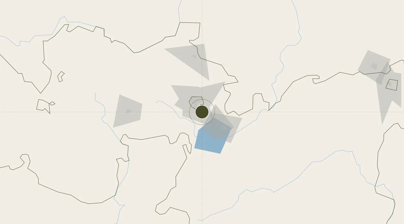
Nearby Logistics Neighbours

Ports
  1. 1Doraleh555 km
  2. 2Djibouti559 km
  3. 3Assab628 km
  4. 4Al Mukha691 km
  5. 5Berbera697 km
Nearest neighbours — logibook spatial index (haversine) over the source coordinates
Airports
  1. 1Harar Meda Airport18 km
  2. 2Addis Ababa Bole International Airport20 km
  3. 3Hawassa International Airport198 km
  4. 4Jimma Airport261 km
  5. 5Kombolcha Airport271 km
Nearest neighbours — logibook spatial index (haversine) over the source coordinates
Cities
  1. 1Mojo35 km
  2. 2Mojo Dry Port39 km
  3. 3Kembolcha293 km
  4. 4Dubti404 km
  5. 5Camp Lemonier555 km
Nearest neighbours — logibook spatial index (haversine) over the source coordinates
DatabookThe Record of Consolidated Knowledge
Ethiopia beyond logistics?
Browse databook

All Sources

Trade ZonesOpen Zone Map
CC BY
Portsthe NGA World Port Index
Public domain (US gov)
AirportsOurAirports
Public domain
LocationsUN/LOCODE
UN/LOCODE — free
← Ethiopia trade zones