Medium airport · Eritrea
Massawa International AirportHHMS
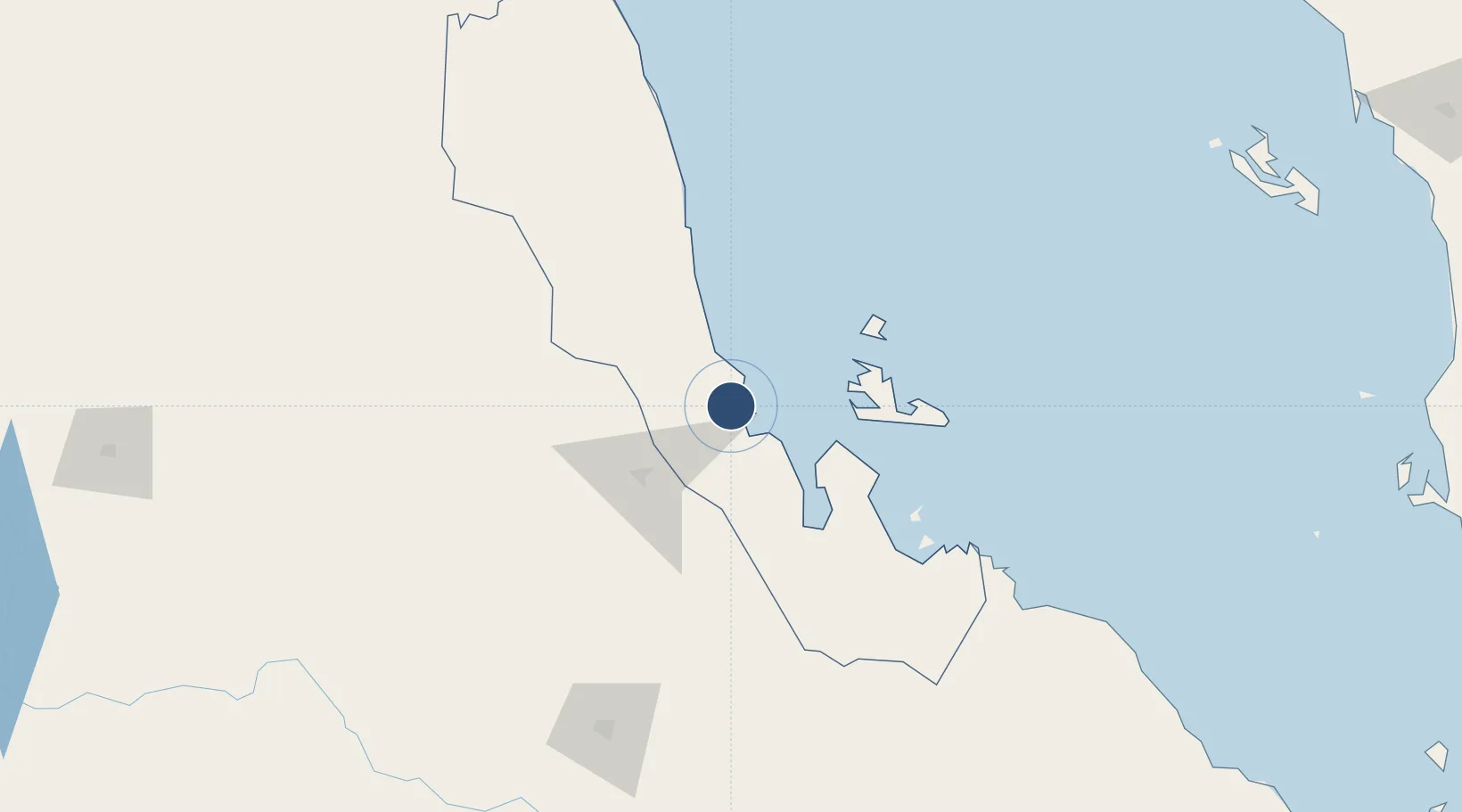
15.6700°, 39.3701°
11,483 ft
Longest runway
1
Runways
194 ft
Elevation
Runway & Layout

Radio Frequencies
TWR
118.3 MHz
APP
123.9 MHz
Navaids
MS NDB Massawa 230 kHz
Runways · 1
| Runway | Dimensions | Surface | True heading | Lit |
|---|---|---|---|---|
| 07/25 | 11,483 × 148ft | Asphalt | 075° | ✓ |
Airport Specifications
IATA code
MSW
ICAO code
HHMS
Airport class
Medium airport
Scheduled service
No
Runway surface
Asphalt
Served city
Massawa
Location
Nearby Logistics Neighbours
Airports
- 1Asmara International Airport65 km
- 2Axum Airport181 km
- 3Shire Inda Selassie Airport213 km
- 4Mekele Alula Aba Nega Airport246 km
- 5Kassala Airport327 km
Cities
- 1Massawa (Mitsiwa)12 km
- 2Asmara60 km
- 3Ras Isa Terminal357 km
- 4Al Qahmah358 km
- 5Jizan361 km
Ports
- 1Mitsiwa Harbor12 km
- 2Ras Isa Marine Terminal351 km
- 3Salif356 km
- 4Jizan359 km
- 5Al Ahmadi397 km
Trade Zones
- 1Massawa Free Trade Zone9 km
- 2DBL Industrial Park242 km
- 3Mekelle Industrial Park242 km
- 4Vogue Industrial Park243 km
- 5Jazan Economic City368 km
DatabookThe Record of Consolidated Knowledge
Eritrea beyond logistics?