Small airport · Ethiopia

Shire Inda Selassie AirportET-SHC

14.0757°, 38.2736°
6,207 ft
Elevation

Runway & Layout

Shire Inda Selassie Airport runway & taxiway layout
Runway & taxiway layout — OpenStreetMap (ODbL) / OurAirports

Airport Specifications

IATA code
SHC
OurAirports
ICAO code
HASR
OurAirports
Airport class
Small airport
OurAirports
Scheduled service
Yes
OurAirports
Served city
Shire Inda Selassie
OurAirports

Location

Location of ET-SHC
Natural Earth 10m (public domain) · Tigray · ET-SHC · 14.08, 38.27GoogleOSMYandex

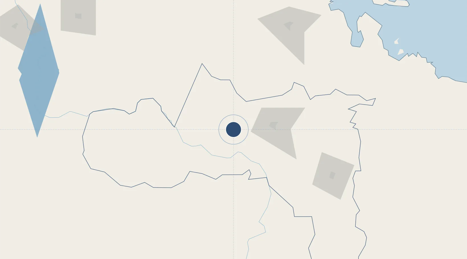
Nearby Logistics Neighbours

Airports
  1. 1Axum Airport54 km
  2. 2Asmara International Airport152 km
  3. 3Mekele Alula Aba Nega Airport152 km
  4. 4Gondar Airport195 km
  5. 5Massawa International Airport213 km
Nearest neighbours — logibook spatial index (haversine) over the source coordinates
Cities
  1. 1Asmara157 km
  2. 2Massawa (Mitsiwa)212 km
  3. 3Dubti401 km
  4. 4Ras Isa Terminal489 km
  5. 5Assab497 km
Nearest neighbours — logibook spatial index (haversine) over the source coordinates
Ports
  1. 1Mitsiwa Harbor214 km
  2. 2Ras Isa Marine Terminal480 km
  3. 3Salif492 km
  4. 4Assab499 km
  5. 5Al Ahmadi512 km
Nearest neighbours — logibook spatial index (haversine) over the source coordinates
Trade Zones
  1. 1DBL Industrial Park139 km
  2. 2Mekelle Industrial Park139 km
  3. 3Vogue Industrial Park153 km
  4. 4Massawa Free Trade Zone213 km
  5. 5Gallabat Free Zone261 km
Nearest neighbours — logibook spatial index (haversine) over the source coordinates
DatabookThe Record of Consolidated Knowledge
Ethiopia beyond logistics?
Browse databook

All Sources

AirportsOurAirports
Public domain
Portsthe NGA World Port Index
Public domain (US gov)
LocationsUN/LOCODE
UN/LOCODE — free
Trade Zonesthe World Bank SEZ database
CC BY 4.0
Trade ZonesOpen Zone Map
CC BY
InfrastructureOpenStreetMap
ODbL 1.0
← Ethiopia airports