Large airport · Eritrea
Asmara International AirportHHAS
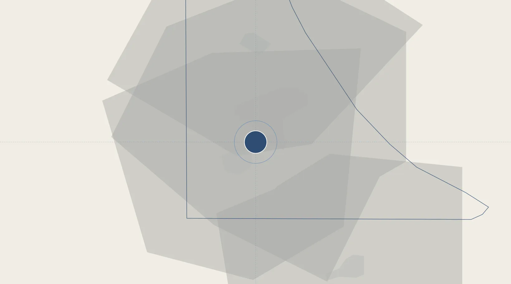
15.2919°, 38.9107°
9,842 ft
Longest runway
2
Runways
7,661 ft
Elevation
Runway & Layout

Radio Frequencies
TWR
118.1 MHz
APP
120.7 MHz
Navaids
AS NDB Asmara 305 kHz
ASM VOR-DME Asmara 113.70 MHz
Runways · 2
| Runway | Dimensions | Surface | True heading | Lit |
|---|---|---|---|---|
| 07/25 | 9,842 × 148ft | Asphalt | 074° | ✓ |
| 12/30 | 5,951 × 148ft | Asphalt | 120° | — |
Airport Specifications
IATA code
ASM
ICAO code
HHAS
Airport class
Large airport
Scheduled service
Yes
Runway surface
Asphalt
Served city
Asmara
Location
Nearby Logistics Neighbours
Airports
- 1Massawa International Airport65 km
- 2Axum Airport128 km
- 3Shire Inda Selassie Airport152 km
- 4Mekele Alula Aba Nega Airport214 km
- 5Kassala Airport277 km
Cities
- 1Asmara5 km
- 2Massawa (Mitsiwa)67 km
- 3Ras Isa Terminal403 km
- 4Al Qahmah422 km
- 5Jizan423 km
Ports
- 1Mitsiwa Harbor70 km
- 2Ras Isa Marine Terminal396 km
- 3Salif403 km
- 4Jizan422 km
- 5Al Ahmadi439 km
Trade Zones
- 1Massawa Free Trade Zone68 km
- 2DBL Industrial Park207 km
- 3Mekelle Industrial Park207 km
- 4Vogue Industrial Park212 km
- 5Gallabat Free Zone395 km
DatabookThe Record of Consolidated Knowledge
Eritrea beyond logistics?