Export Processing Zone · Ethiopia
Vogue Industrial Park Active
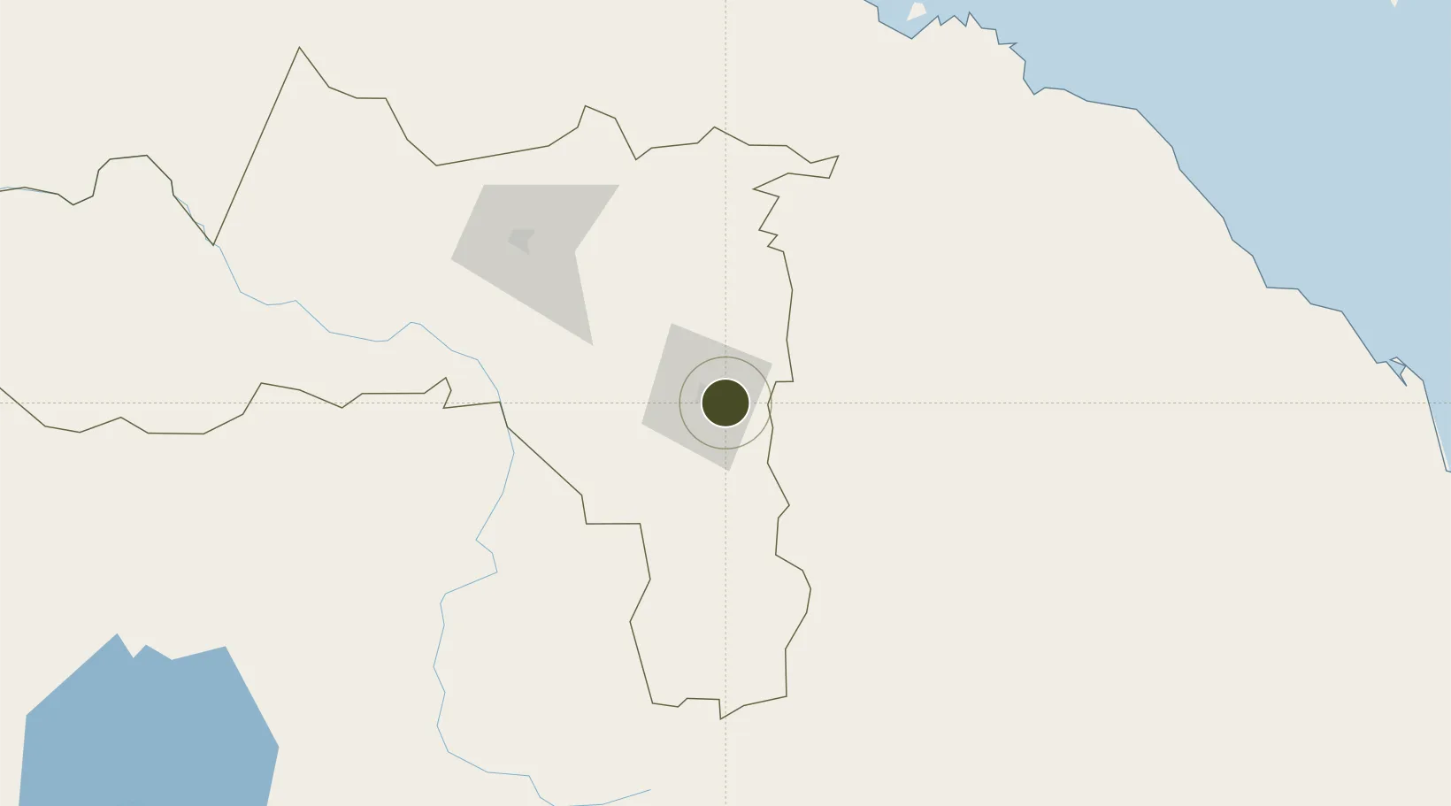
13.4883°, 39.5587°
150 ha
Zone area
236.9 km
Nearest port
3.6 km
Nearest airport
Gateway access
Zone profile
Zone type
Export Processing Zone
Region
Tigray
Status
Active
Management
Private
Operator
Ethiopian Investment Commission,Velocity Apparel Companies PLC
Legal framework
Regulation No 417/2017 Industrial Parks Council of Ministers Regulation
Location
Nearby Logistics Neighbours
Ports
- 1Mitsiwa Harbor237 km
- 2Assab350 km
- 3Ras Isa Marine Terminal375 km
- 4Salif391 km
- 5Al Ahmadi397 km
Airports
- 1Mekele Alula Aba Nega Airport4 km
- 2Axum Airport112 km
- 3Shire Inda Selassie Airport153 km
- 4Asmara International Airport212 km
- 5Massawa International Airport243 km
Cities
- 1Asmara216 km
- 2Massawa (Mitsiwa)235 km
- 3Dubti256 km
- 4Assab348 km
- 5Ras Isa Terminal385 km
Trade Zones
- 1DBL Industrial Park16 km
- 2Mekelle Industrial Park16 km
- 3Massawa Free Trade Zone238 km
- 4Kombolcha Industrial Development Zone268 km
- 5Bahir Dar Industrial Park323 km
DatabookThe Record of Consolidated Knowledge
Ethiopia beyond logistics?