Transport Functions
Port
Hub Profile
Region
37
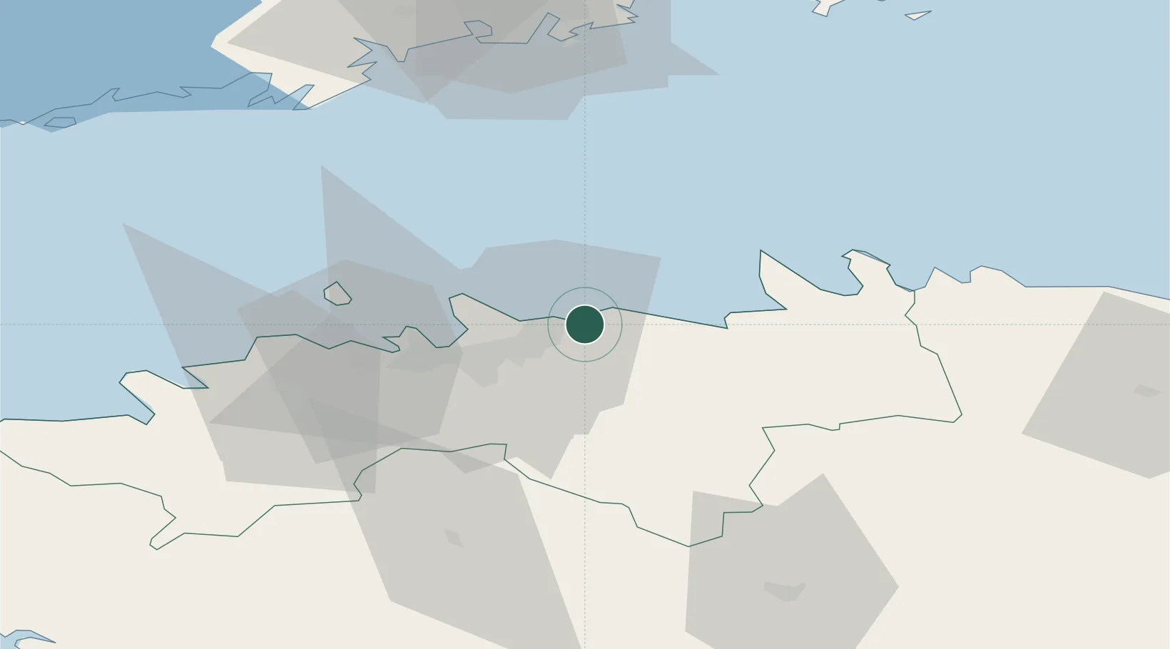
Location
Nearby Logistics Neighbours
Cities
- 1Maardu5 km
- 2Neeme6 km
- 3Muuga6 km
- 4Tallinn8 km
- 5Kaberneeme Sadam11 km
Ports
- 1Muuga-Port of Tallin7 km
- 2Miiduranna15 km
- 3Vanasadam - Port of Tallinn19 km
- 4Paljassaare22 km
- 5Lahesuu22 km
Airports
- 1Lennart Meri Tallinn Airport17 km
- 2Tallinn Linnahall Heliport20 km
- 3Ämari Air Base57 km
- 4Helsinki Vantaa Airport91 km
- 5Pärnu Airport125 km
Trade Zones
- 1Muuga Free Zone23 km
- 2Paldiski Free Zone60 km
- 3Freeport of Hanko129 km
- 4Port of Hamina-Kotka149 km
- 5Port of Sillamäe149 km
DatabookThe Record of Consolidated Knowledge
Estonia beyond logistics?