UN/LOCODE hub · Estonia
EEKBN

Kaberneeme Sadam

59.5167°, 25.2833°
1
Transport functions

Transport Functions

Port
UN/LOCODE

Hub Profile

Region
37
GeoNames

Location

Location of EEKBN
Natural Earth 10m (public domain) · 37 · EEKBN · 59.52, 25.28GoogleOSMYandex

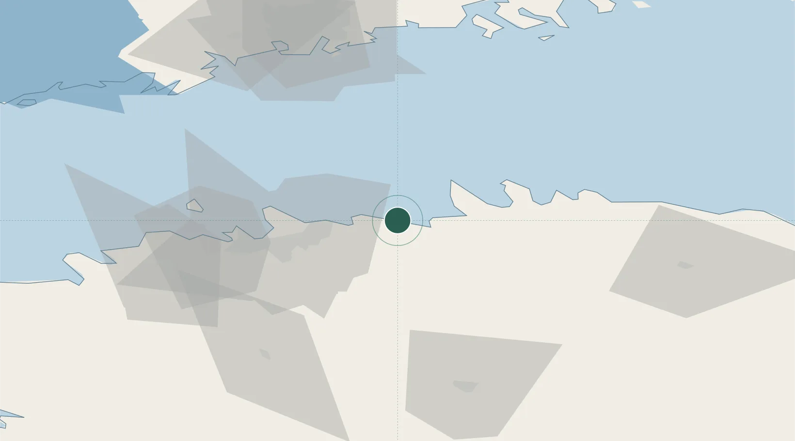
Nearby Logistics Neighbours

Cities
  1. 1Salmistu5 km
  2. 2Neeme7 km
  3. 3Koljunuki11 km
  4. 4Maardu16 km
  5. 5Muuga17 km
Nearest neighbours — logibook spatial index (haversine) over the source coordinates
Ports
  1. 1Muuga-Port of Tallin18 km
  2. 2Loksa25 km
  3. 3Miiduranna26 km
  4. 4Vanasadam - Port of Tallinn30 km
  5. 5Paljassaare33 km
Nearest neighbours — logibook spatial index (haversine) over the source coordinates
Airports
  1. 1Lennart Meri Tallinn Airport28 km
  2. 2Tallinn Linnahall Heliport31 km
  3. 3Ämari Air Base67 km
  4. 4Helsinki Vantaa Airport91 km
  5. 5Helsinki East-Redstone Aerodrome130 km
Nearest neighbours — logibook spatial index (haversine) over the source coordinates
Trade Zones
  1. 1Muuga Free Zone29 km
  2. 2Paldiski Free Zone71 km
  3. 3Port of Sillamäe138 km
  4. 4Freeport of Hanko139 km
  5. 5Port of Hamina-Kotka140 km
Nearest neighbours — logibook spatial index (haversine) over the source coordinates
DatabookThe Record of Consolidated Knowledge
Estonia beyond logistics?
Browse databook

All Sources

LocationsUN/LOCODE
UN/LOCODE — free
Portsthe NGA World Port Index
Public domain (US gov)
AirportsOurAirports
Public domain
Trade Zonesthe World Bank SEZ database
CC BY 4.0
Trade ZonesOpen Zone Map
CC BY
← Estonia locations