UN/LOCODE hub · Estonia
EENME

Neeme

59.5333°, 25.1667°
130
Population
1
Transport functions

Transport Functions

Port
UN/LOCODE

Hub Profile

Place type
Populated place
GeoNames
Region
Harjumaa
GeoNames
Population
130
GeoNames
Time zone
Europe/Tallinn
GeoNames
Elevation
8 m
GeoNames

Location

Location of EENME
Natural Earth 10m (public domain) · Harjumaa · EENME · 59.53, 25.17GoogleOSMYandex

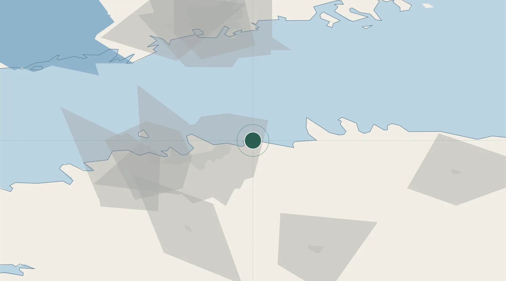
Nearby Logistics Neighbours

Cities
  1. 1Koljunuki6 km
  2. 2Kaberneeme Sadam7 km
  3. 3Maardu11 km
  4. 4Salmistu12 km
  5. 5Muuga12 km
Nearest neighbours — logibook spatial index (haversine) over the source coordinates
Ports
  1. 1Muuga-Port of Tallin12 km
  2. 2Miiduranna20 km
  3. 3Vanasadam - Port of Tallinn24 km
  4. 4Paljassaare27 km
  5. 5Lahesuu28 km
Nearest neighbours — logibook spatial index (haversine) over the source coordinates
Airports
  1. 1Lennart Meri Tallinn Airport23 km
  2. 2Tallinn Linnahall Heliport25 km
  3. 3Ämari Air Base62 km
  4. 4Helsinki Vantaa Airport88 km
  5. 5Pärnu Airport130 km
Nearest neighbours — logibook spatial index (haversine) over the source coordinates
Trade Zones
  1. 1Muuga Free Zone28 km
  2. 2Paldiski Free Zone66 km
  3. 3Freeport of Hanko132 km
  4. 4Port of Hamina-Kotka143 km
  5. 5Port of Sillamäe145 km
Nearest neighbours — logibook spatial index (haversine) over the source coordinates
DatabookThe Record of Consolidated Knowledge
Estonia beyond logistics?
Browse databook

All Sources

LocationsUN/LOCODE
UN/LOCODE — free
LocationsGeoNames
CC BY 4.0
Portsthe NGA World Port Index
Public domain (US gov)
AirportsOurAirports
Public domain
Trade Zonesthe World Bank SEZ database
CC BY 4.0
Trade ZonesOpen Zone Map
CC BY
← Estonia locations