Transport Functions
Port
Hub Profile
Region
60
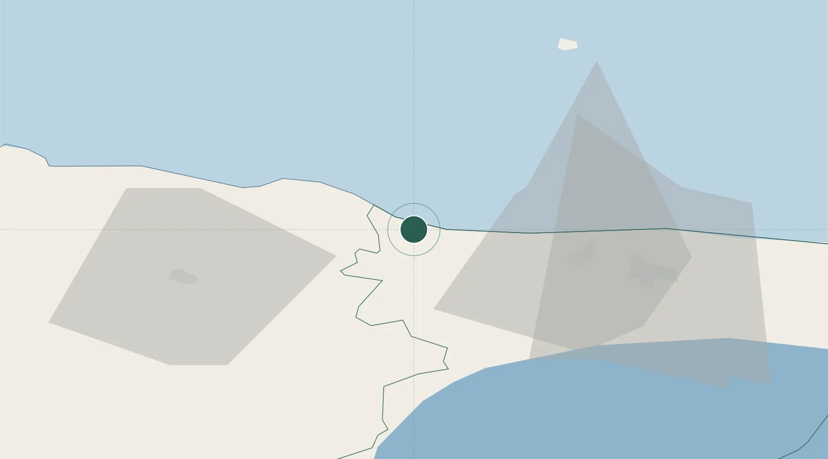
Location
Nearby Logistics Neighbours
Cities
- 1Aseri0 km
- 2Purtse Jahisadam7 km
- 3Purtse Kalasadam7 km
- 4Purtse8 km
- 5Sonda13 km
Airports
- 1Smuravyovo Air Base96 km
- 2Lennart Meri Tallinn Airport115 km
- 3Helsinki East-Redstone Aerodrome115 km
- 4Tallinn Linnahall Heliport119 km
- 5Tartu Airport128 km
Trade Zones
- 1Port of Sillamäe48 km
- 2Muuga Free Zone107 km
- 3Port of Hamina-Kotka113 km
- 4Paldiski Free Zone159 km
- 5St Petersburg Technology Innovative Special Economic Zone181 km
DatabookThe Record of Consolidated Knowledge
Estonia beyond logistics?