Transport Functions
Port
Border Crossing
Hub Profile
Place type
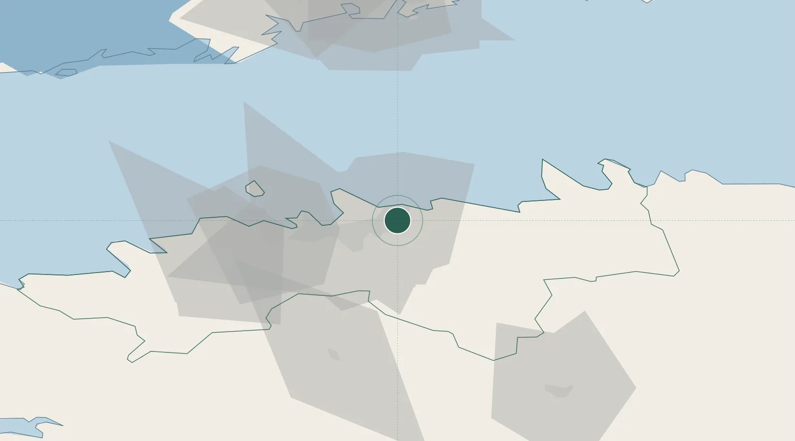
Populated place
Region
Harjumaa
Population
201
Time zone
Europe/Tallinn
Elevation
14 m
Logistics facilities
1
Location
Nearby Logistics Neighbours
Cities
- 1Maardu1 km
- 2Tallinn2 km
- 3Koljunuki6 km
- 4Tammneeme Sadam9 km
- 5Kalevi Jahtklubi9 km
Ports
- 1Miiduranna11 km
- 2Vanasadam - Port of Tallinn13 km
- 3Paljassaare17 km
- 4Lahesuu17 km
- 5Meeruse18 km
Airports
- 1Lennart Meri Tallinn Airport11 km
- 2Tallinn Linnahall Heliport14 km
- 3Ämari Air Base50 km
- 4Helsinki Vantaa Airport95 km
- 5Pärnu Airport120 km
Trade Zones
- 1Muuga Free Zone19 km
- 2Paldiski Free Zone54 km
- 3Freeport of Hanko126 km
- 4Port of Sillamäe154 km
- 5Port of Hamina-Kotka156 km
DatabookThe Record of Consolidated Knowledge
Estonia beyond logistics?