Transport Functions
Rail
Road
Hub Profile
Place type
Provincial seat
Region
Harjumaa
Population
16,630
Time zone
Europe/Tallinn
Elevation
25 m
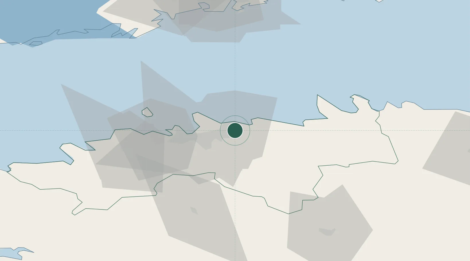
Location
Nearby Logistics Neighbours
Cities
- 1Muuga1 km
- 2Tallinn3 km
- 3Koljunuki5 km
- 4Tammneeme Sadam9 km
- 5Kalevi Jahtklubi10 km
Ports
- 1Muuga-Port of Tallin5 km
- 2Miiduranna12 km
- 3Vanasadam - Port of Tallinn14 km
- 4Paljassaare18 km
- 5Lahesuu18 km
Airports
- 1Lennart Meri Tallinn Airport12 km
- 2Tallinn Linnahall Heliport15 km
- 3Ämari Air Base51 km
- 4Helsinki Vantaa Airport95 km
- 5Pärnu Airport121 km
Trade Zones
- 1Muuga Free Zone19 km
- 2Paldiski Free Zone55 km
- 3Freeport of Hanko126 km
- 4Port of Sillamäe153 km
- 5Port of Hamina-Kotka155 km
DatabookThe Record of Consolidated Knowledge
Estonia beyond logistics?