Medium airport · Ecuador

Eloy Alfaro International AirportSEMT
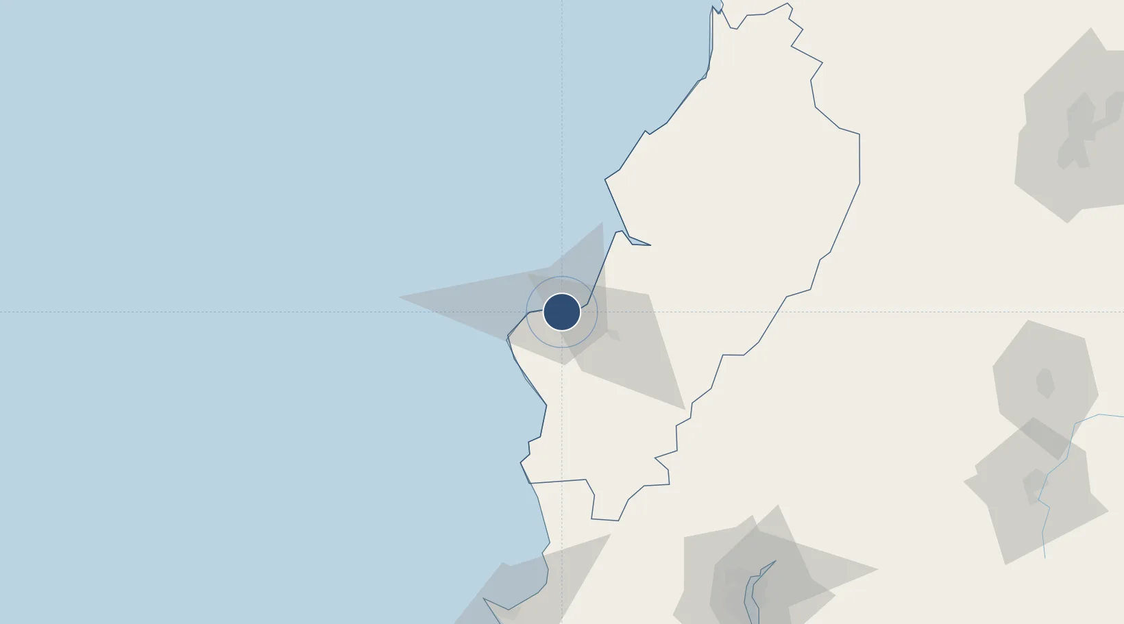
-0.9461°, -80.6788°
9,383 ft
Longest runway
1
Runways
48 ft
Elevation

Runway & Layout

Eloy Alfaro International Airport runway & taxiway layout
Runway & taxiway layout — OpenStreetMap (ODbL) / OurAirports

Radio Frequencies

TWR
118.7 MHz
MANTA TWR
GND
121.9 MHz
APP
122.7 MHz
MANTA APP
RDO
126.9 MHz
MANTA RDO
OurAirports

Navaids

MNV VOR-DME Manta 113.90 MHz
OurAirports

Runways · 1

RunwayDimensions SurfaceTrue headingLit
05/23 9,383 × 148ft Asphalt 056°
OurAirports

Airport Specifications

IATA code
MEC
OurAirports
ICAO code
SEMT
OurAirports
Airport class
Medium airport
OurAirports
Scheduled service
Yes
OurAirports
Runway surface
Asphalt
OurAirports
Served city
Manta
OurAirports

Location

Location of SEMT
Natural Earth 10m (public domain) · Manabi · SEMT · -0.95, -80.68GoogleOSMYandex

Nearby Logistics Neighbours

Airports
  1. 1Reales Tamarindos Airport25 km
  2. 2General Ulpiano Paez International Airport145 km
  3. 3José Joaquín de Olmedo International Airport161 km
  4. 4Cotopaxi International Airport229 km
  5. 5Chachoán Regional Airport236 km
Nearest neighbours — logibook spatial index (haversine) over the source coordinates
Cities
  1. 1Manta6 km
  2. 2Montecristi12 km
  3. 3Jipijapa44 km
  4. 4Bahía de Caráquez48 km
  5. 5Chone71 km
Nearest neighbours — logibook spatial index (haversine) over the source coordinates
Ports
  1. 1Manta4 km
  2. 2La Libertad144 km
  3. 3Guayaquil165 km
  4. 4Puerto Maritimo De Guayaquil172 km
  5. 5Esmeraldas245 km
Nearest neighbours — logibook spatial index (haversine) over the source coordinates
Trade Zones
  1. 1Zona Franca Manabí6 km
  2. 2Zona Franca de Manta7 km
  3. 3Zona Franca Esmeraldas159 km
  4. 4Contecon Guayaquil Free Zone172 km
  5. 5DP World Posorja200 km
Nearest neighbours — logibook spatial index (haversine) over the source coordinates
DatabookThe Record of Consolidated Knowledge
Ecuador beyond logistics?
Browse databook

All Sources

AirportsOurAirports
Public domain
Portsthe NGA World Port Index
Public domain (US gov)
LocationsUN/LOCODE
UN/LOCODE — free
Trade Zonesthe World Bank SEZ database
CC BY 4.0
Trade ZonesOpen Zone Map
CC BY
InfrastructureOpenStreetMap
ODbL 1.0
← Ecuador airports