Export Processing Zone · Dominican Republic

Parque Zona Franca Navarrete Active
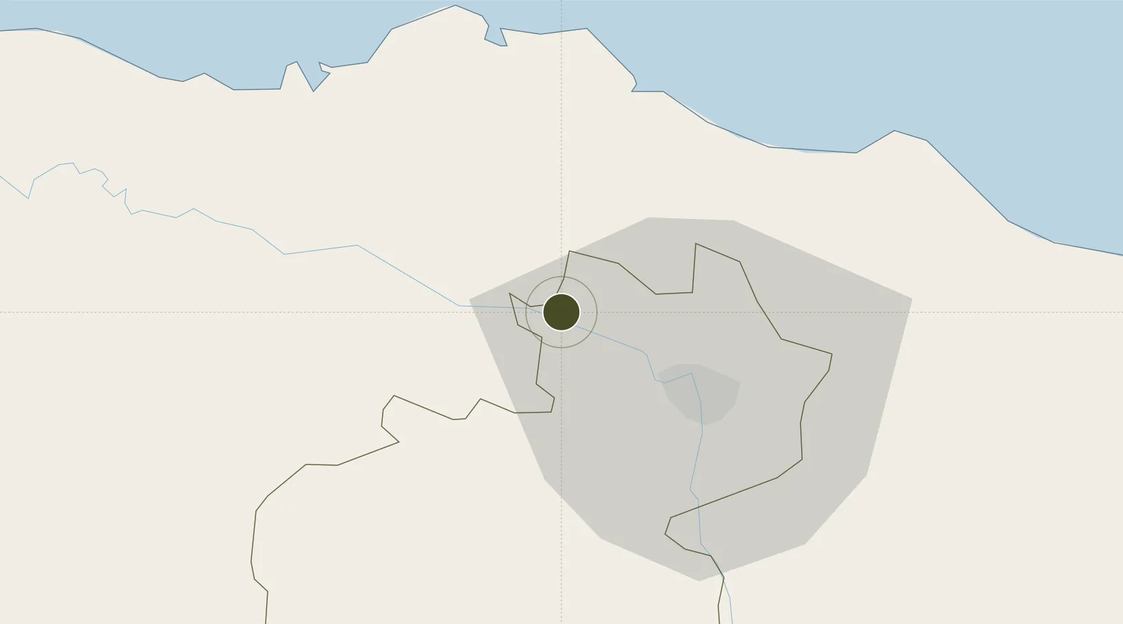
19.5683°, -70.8736°
7 ha
Zone area
31.5 km
Nearest port
33.6 km
Nearest airport

Gateway access

Nearest neighbours — logibook spatial index (haversine) over the source coordinates

Zone profile

Zone type
Export Processing Zone
Open Zone Map
Region
Santiago
Open Zone Map
Status
Active
Open Zone Map
Management
Private
Open Zone Map
Operator
Parque Industrial Zona Franca Navarrete, SA
Open Zone Map
Legal framework
Law 8-90, Amended in December 2007
Open Zone Map

Location

Location of ozm-1779
Natural Earth 10m (public domain) · Santiago · ozm-1779 · 19.57, -70.87GoogleOSMYandex

Nearby Logistics Neighbours

Ports
  1. 1Amber Cove32 km
  2. 2Puerto Plata32 km
  3. 3Pepillo Salcedo93 km
  4. 4Manzanillo93 km
  5. 5Puerto Viejo De Azua136 km
Nearest neighbours — logibook spatial index (haversine) over the source coordinates
Airports
  1. 1Cibao International Airport34 km
  2. 2Gregorio Luperon International Airport38 km
  3. 3Samaná El Catey International Airport124 km
  4. 4Cap Haitien International Airport140 km
  5. 5La Isabela International Airport145 km
Nearest neighbours — logibook spatial index (haversine) over the source coordinates
Cities
  1. 1Villa Gonzalez10 km
  2. 2Hato del Yaque16 km
  3. 3Licey28 km
  4. 4Piloto34 km
  5. 5Luperon38 km
Nearest neighbours — logibook spatial index (haversine) over the source coordinates
Trade Zones
  1. 1Zona Franca Industrial Emimar0 km
  2. 2Parque Zona Franca Los Candelones3 km
  3. 3Zona Franca Industrial Del Norte9 km
  4. 4Zona Franca Industrial de Palmarejo10 km
  5. 5Zona Franca de Esperanza12 km
Nearest neighbours — logibook spatial index (haversine) over the source coordinates
DatabookThe Record of Consolidated Knowledge
Dominican Republic beyond logistics?
Browse databook

All Sources

Trade ZonesOpen Zone Map
CC BY
Portsthe NGA World Port Index
Public domain (US gov)
AirportsOurAirports
Public domain
LocationsUN/LOCODE
UN/LOCODE — free
← Dominican Republic trade zones