Export Processing Zone · Dominican Republic

PIISA Industrial Park (Zona Franca Industrial San Cristóbal) Active
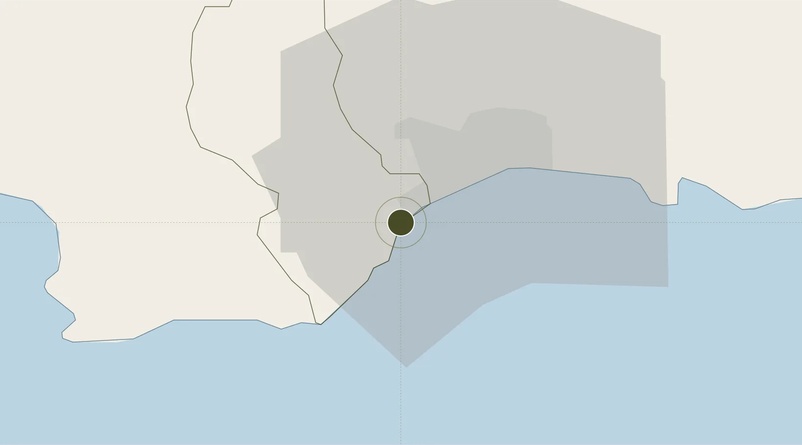
18.3879°, -70.0492°
54 ha
Zone area
4.7 km
Nearest port
21.6 km
Nearest airport

Gateway access

Nearest neighbours — logibook spatial index (haversine) over the source coordinates

Zone profile

Zone type
Export Processing Zone
Open Zone Map
Region
San Cristóbal
Open Zone Map
Status
Active
Open Zone Map
Management
Private
Open Zone Map
Operator
PIISA
Open Zone Map
Legal framework
Law 8-90, Amended in December 2007
Open Zone Map

Location

Location of ozm-1809
Natural Earth 10m (public domain) · San Cristóbal · ozm-1809 · 18.39, -70.05GoogleOSMYandex

Nearby Logistics Neighbours

Ports
  1. 1Puerto De Haina5 km
  2. 2Santo Domingo20 km
  3. 3Andres (Andres Lng Terminal)44 km
  4. 4Las Calderas53 km
  5. 5San Pedro De Macoris78 km
Nearest neighbours — logibook spatial index (haversine) over the source coordinates
Airports
  1. 1La Isabela International Airport22 km
  2. 2San Isidro Air Base33 km
  3. 3Las Américas International Airport40 km
  4. 4Los Llanos de Sabanatosa Airport60 km
  5. 5Samaná El Catey International Airport103 km
Nearest neighbours — logibook spatial index (haversine) over the source coordinates
Cities
  1. 1Nigua2 km
  2. 2Barcequillo5 km
  3. 3Rio Haina6 km
  4. 4Pedro Brand7 km
  5. 5Haina8 km
Nearest neighbours — logibook spatial index (haversine) over the source coordinates
DatabookThe Record of Consolidated Knowledge
Dominican Republic beyond logistics?
Browse databook

All Sources

Trade ZonesOpen Zone Map
CC BY
Portsthe NGA World Port Index
Public domain (US gov)
AirportsOurAirports
Public domain
LocationsUN/LOCODE
UN/LOCODE — free
← Dominican Republic trade zones