Transport Functions
Port
Rail
Road
Hub Profile
Region
SH
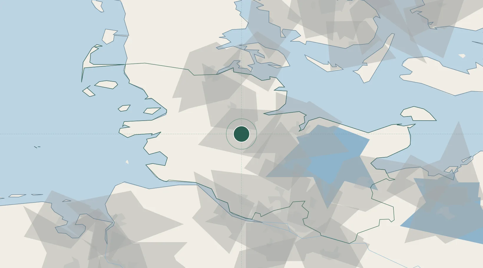
Location
Nearby Logistics Neighbours
Cities
- 1Obereiderhafen1 km
- 2Osterrönfeld4 km
- 3Audorf5 km
- 4Borgstedt6 km
- 5Elsdorf-Westermühlen9 km
Ports
- 1Rendsburg2 km
- 2Eckernforde24 km
- 3Kiel31 km
- 4Itzehoe44 km
- 5Husum44 km
Airports
- 1Hohn Air Base7 km
- 2Schleswig Air Base20 km
- 3Kiel-Holtenau Airport33 km
- 4Heide-Büsum Airport51 km
- 5Uetersen-Heist Airfield73 km
Trade Zones
DatabookThe Record of Consolidated Knowledge
Germany beyond logistics?