Transport Functions
Port
Hub Profile
Region
SA
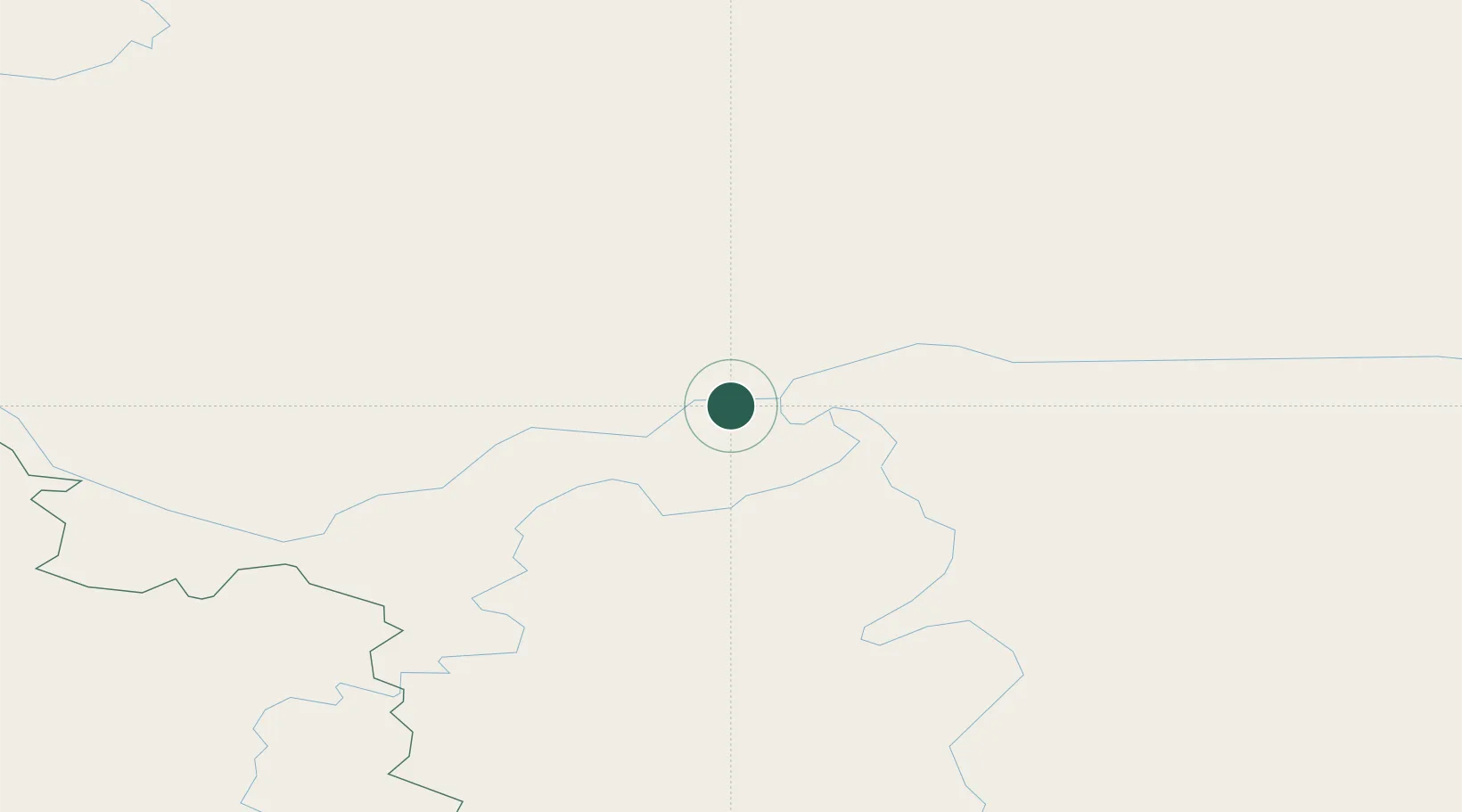
Location
Nearby Logistics Neighbours
Ports
- 1Tiksi1308 km
- 2Nikolayevsk Na Amur1468 km
- 3Lazarev1575 km
- 4De Kastri1598 km
- 5Bukhta Vanino1776 km
Airports
- 1Olyokminsk Airport5 km
- 2Byas-Kyuyol Airport115 km
- 3Suntar Airport251 km
- 4Lensk Airport308 km
- 5Verkhnevilyuisk Airport344 km
DatabookThe Record of Consolidated Knowledge
Russia beyond logistics?