UN/LOCODE hub · Germany
DEZZW

Zierzow

53.2833°, 11.6833°
2
Transport functions

Transport Functions

Road
Multimodal
UN/LOCODE

Hub Profile

Place type
Populated place
GeoNames
Region
Mecklenburg-Vorpommern
GeoNames
Time zone
Europe/Berlin
GeoNames
Elevation
39 m
GeoNames

Location

Location of DEZZW
Natural Earth 10m (public domain) · Mecklenburg-Vorpommern · DEZZW · 53.28, 11.68GoogleOSMYandex

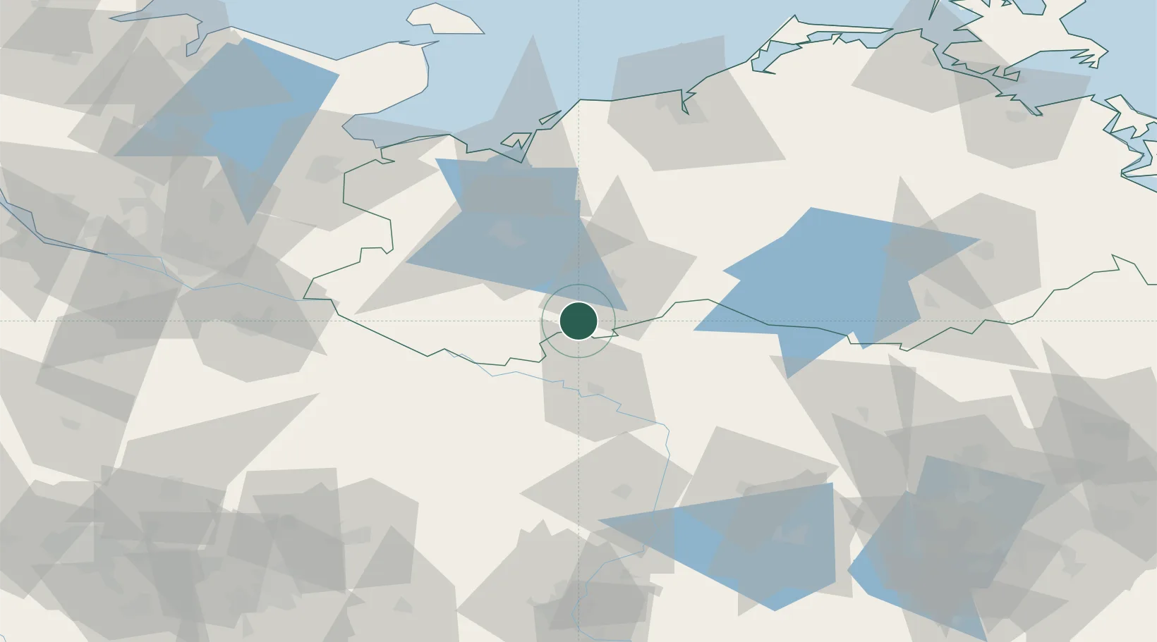
Nearby Logistics Neighbours

Cities
  1. 1Neustadt-Glewe13 km
  2. 2Spornitz13 km
  3. 3Karstädt (Prignitz)16 km
  4. 4Rastow25 km
  5. 5Malliss26 km
Nearest neighbours — logibook spatial index (haversine) over the source coordinates
Ports
  1. 1Wismar70 km
  2. 2Lubeck-Travemunde93 km
  3. 3Lubeck93 km
  4. 4Rostock96 km
  5. 5Neustadt107 km
Nearest neighbours — logibook spatial index (haversine) over the source coordinates
Airports
  1. 1Rostock-Laage Airport81 km
  2. 2Lübeck Blankensee Airport86 km
  3. 3Faßberg Air Base108 km
  4. 4Neubrandenburg Trollenhagen Airport113 km
  5. 5Hamburg Helmut Schmidt Airport119 km
Nearest neighbours — logibook spatial index (haversine) over the source coordinates
Trade Zones
  1. 1Freeport of Kiel153 km
  2. 2Swinoujscie Duty Free Zone184 km
  3. 3Szczecin Duty Free Zone192 km
  4. 4Freeport of Bremerhaven (Freihafen Bremerhaven)195 km
  5. 5Kostrzyń-Słubice SEZ212 km
Nearest neighbours — logibook spatial index (haversine) over the source coordinates
DatabookThe Record of Consolidated Knowledge
Germany beyond logistics?
Browse databook

All Sources

LocationsUN/LOCODE
UN/LOCODE — free
Portsthe NGA World Port Index
Public domain (US gov)
AirportsOurAirports
Public domain
Trade Zonesthe World Bank SEZ database
CC BY 4.0
Trade ZonesOpen Zone Map
CC BY
← Germany locations