Transport Functions
Rail
Road
Hub Profile
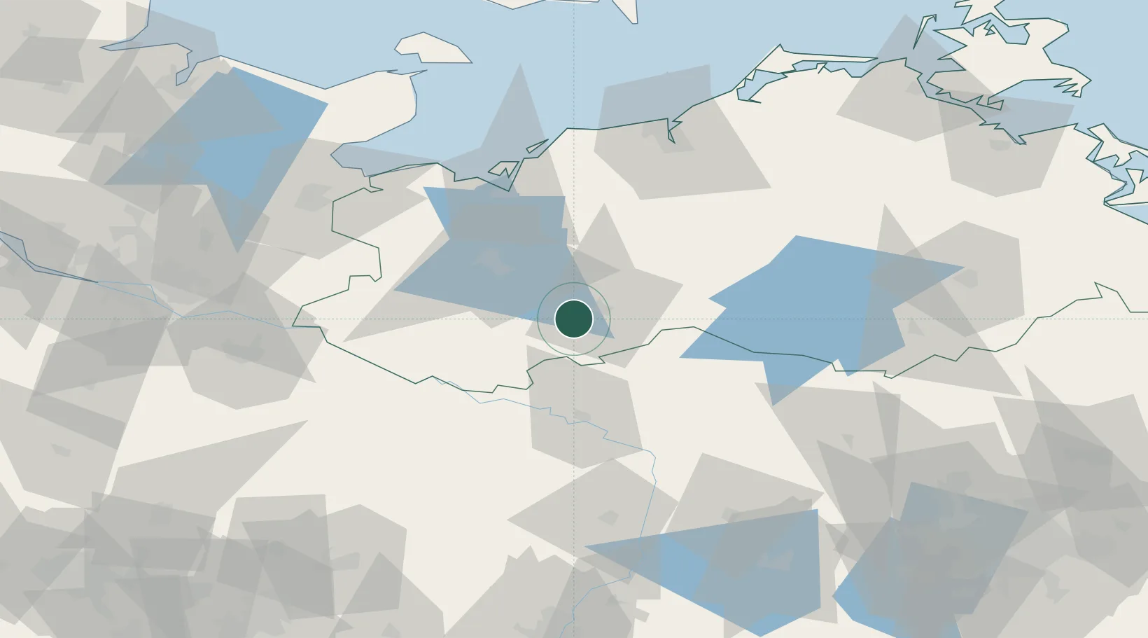
Place type
Populated place
Region
Mecklenburg-Vorpommern
Population
1,568
Time zone
Europe/Berlin
Elevation
58 m
Location
Nearby Logistics Neighbours
Cities
- 1Neustadt-Glewe9 km
- 2Zierzow13 km
- 3Rastow20 km
- 4Crivitz21 km
- 5Karstädt (Prignitz)28 km
Ports
- 1Wismar58 km
- 2Rostock83 km
- 3Lubeck-Travemunde84 km
- 4Lubeck86 km
- 5Neustadt98 km
Airports
- 1Rostock-Laage Airport69 km
- 2Lübeck Blankensee Airport80 km
- 3Neubrandenburg Trollenhagen Airport108 km
- 4Faßberg Air Base115 km
- 5Hamburg Helmut Schmidt Airport117 km
Trade Zones
DatabookThe Record of Consolidated Knowledge
Germany beyond logistics?