Medium airport · Germany
Neubrandenburg Trollenhagen AirportEDBN
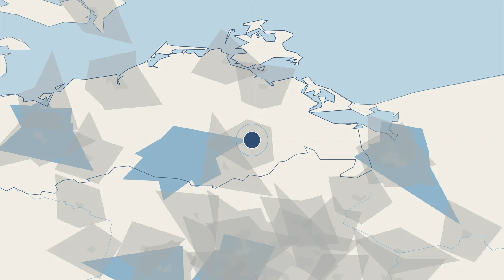
53.6022°, 13.3060°
7,522 ft
Longest runway
1
Runways
228 ft
Elevation
Runway & Layout

Radio Frequencies
A/D
35.875 MHz
RADAR
A/D
123.3 MHz
RADAR
ACC
126.175 MHz
BERLIN RADAR
AFIS
132.65 MHz
Langen Information
FIS
119.18 MHz
Neubrandenburg Information
INFO
122.05 MHz
RMP
122.05 MHz
APRON
Navaids
NEG TACAN Neubrandenburg 108.05 MHz
NRG NDB Neubrandenburg 357 kHz
Runways · 1
| Runway | Dimensions | Surface | True heading | Lit |
|---|---|---|---|---|
| 09/27 | 7,522 × 148ft | Concrete | 085° | ✓ |
Airport Specifications
IATA code
FNB
ICAO code
EDBN
Airport class
Medium airport
Scheduled service
No
Runway surface
Concrete
Served city
Trollenhagen
Location
Nearby Logistics Neighbours
Airports
- 1Heringsdorf Airport64 km
- 2Rostock-Laage Airport76 km
- 3Solidarity Szczecin–Goleniów Airport105 km
- 4Berlin Brandenburg Airport139 km
- 5Swidwin Military Air Base167 km
Cities
- 1Trollenhagen1 km
- 2Altentreptow10 km
- 3Rowa14 km
- 4Friedland18 km
- 5Helpt23 km
Ports
- 1Wolgast59 km
- 2Swinoujscie72 km
- 3Stralsund81 km
- 4Police83 km
- 5Szczecin85 km
Trade Zones
- 1Swinoujscie Duty Free Zone72 km
- 2Szczecin Duty Free Zone86 km
- 3Kostrzyń-Słubice SEZ143 km
- 4Freeport of Kiel220 km
- 5MTS Malmö Transport and Spedition223 km
DatabookThe Record of Consolidated Knowledge
Germany beyond logistics?