Transport Functions
Rail
Road
Hub Profile
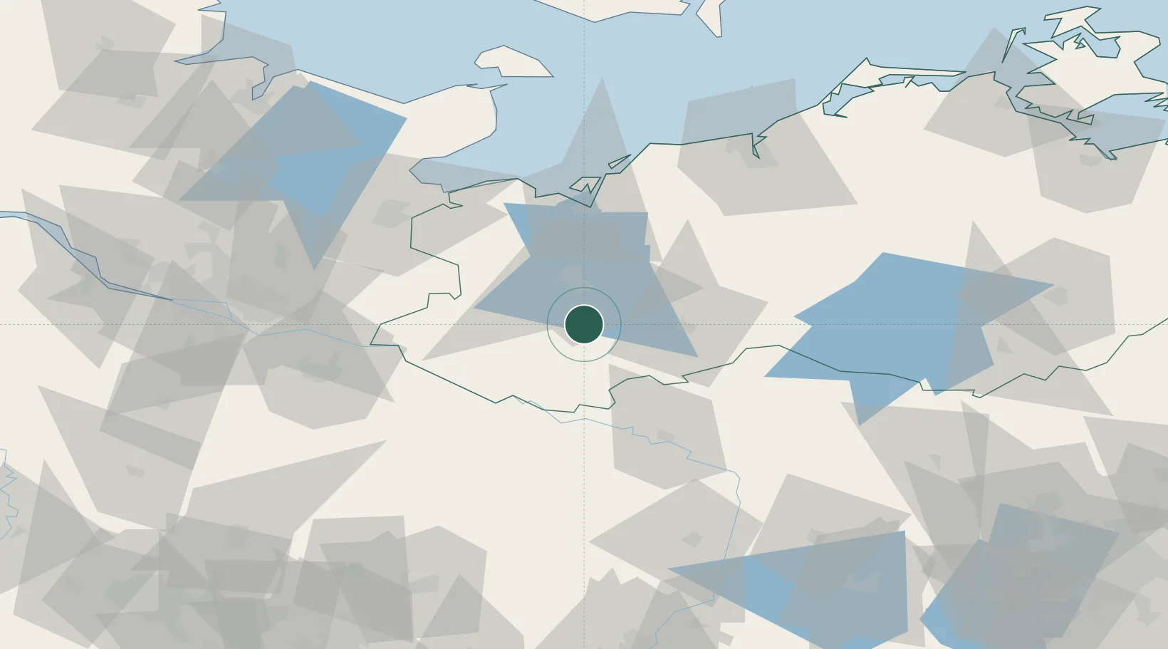
Place type
Populated place
Region
Mecklenburg-Vorpommern
Population
1,618
Time zone
Europe/Berlin
Elevation
41 m
Location
Nearby Logistics Neighbours
Cities
- 1Neustadt-Glewe12 km
- 2Hagenow17 km
- 3Spornitz20 km
- 4Bobzin20 km
- 5Crivitz21 km
Ports
- 1Wismar50 km
- 2Lubeck-Travemunde68 km
- 3Lubeck68 km
- 4Neustadt83 km
- 5Rostock86 km
Airports
- 1Lübeck Blankensee Airport62 km
- 2Rostock-Laage Airport76 km
- 3Hamburg Helmut Schmidt Airport98 km
- 4Faßberg Air Base102 km
- 5Hamburg-Finkenwerder Airport106 km
Trade Zones
DatabookThe Record of Consolidated Knowledge
Germany beyond logistics?