Medium airport · Germany

Faßberg Air BaseETHS
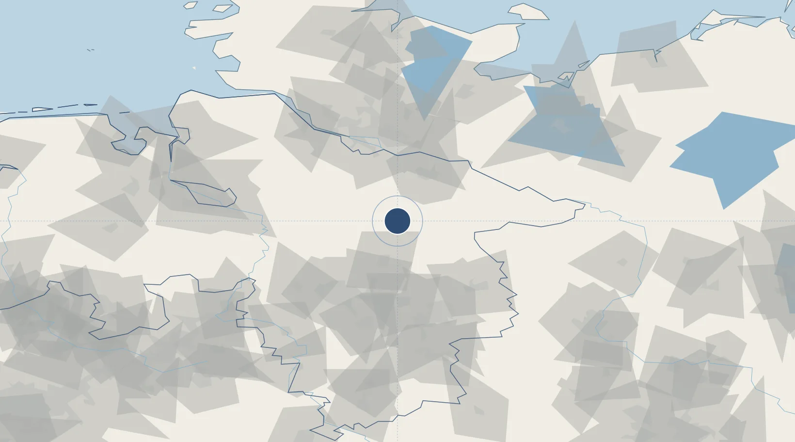
52.9194°, 10.1858°
8,005 ft
Longest runway
3
Runways
245 ft
Elevation

Runway & Layout

Faßberg Air Base runway & taxiway layout
Runway & taxiway layout — OpenStreetMap (ODbL) / OurAirports

Radio Frequencies

TWR
42.4 MHz
A/D
38.54 MHz
RADAR
A/D
122.425 MHz
RADAR
DIR
131.325 MHz
HANNOVER DIR
OurAirports

Navaids

FSB NDB Fassberg 284 kHz
OurAirports

Runways · 3

RunwayDimensions SurfaceTrue headingLit
09/27 8,005 × 95ft Asphalt 091°
09L/27R 3,281 × 164ft Grass 088°
06/24 1,312 × 148ft Grass 064°
OurAirports

Airport Specifications

ICAO code
ETHS
OurAirports
Airport class
Medium airport
OurAirports
Scheduled service
No
OurAirports
Runway surface
Asphalt
OurAirports
Served city
Faßberg
OurAirports

Location

Location of ETHS
Natural Earth 10m (public domain) · Niedersachsen · ETHS · 52.92, 10.19GoogleOSMYandex

Nearby Logistics Neighbours

Airports
  1. 1Celle Army Airfield38 km
  2. 2Hannover Airport61 km
  3. 3Braunschweig-Wolfsburg Airport71 km
  4. 4Hamburg-Finkenwerder Airport72 km
  5. 5Wunstorf Air Base73 km
Nearest neighbours — logibook spatial index (haversine) over the source coordinates
Cities
  1. 1Bockholdt6 km
  2. 2Munster10 km
  3. 3Unterlüss10 km
  4. 4Gerdau16 km
  5. 5Bohlsen20 km
Nearest neighbours — logibook spatial index (haversine) over the source coordinates
Ports
  1. 1Hamburg72 km
  2. 2Butzfleth93 km
  3. 3Bremen98 km
  4. 4Gluckstadt109 km
  5. 5Lubeck113 km
Nearest neighbours — logibook spatial index (haversine) over the source coordinates
Trade Zones
  1. 1Freeport of Bremerhaven (Freihafen Bremerhaven)96 km
  2. 2Freeport of Cuxhaven (Freihafen Cuxhaven)147 km
  3. 3Freeport of Kiel157 km
  4. 4Freeport of Emden205 km
  5. 5Swinoujscie Duty Free Zone292 km
Nearest neighbours — logibook spatial index (haversine) over the source coordinates
DatabookThe Record of Consolidated Knowledge
Germany beyond logistics?
Browse databook

All Sources

AirportsOurAirports
Public domain
Portsthe NGA World Port Index
Public domain (US gov)
LocationsUN/LOCODE
UN/LOCODE — free
Trade Zonesthe World Bank SEZ database
CC BY 4.0
Trade ZonesOpen Zone Map
CC BY
InfrastructureOpenStreetMap
ODbL 1.0
← Germany airports