UN/LOCODE hub · Germany
DEKSI

Karstädt (Prignitz)

53.1500°, 11.7500°
1
Transport functions

Transport Functions

Multimodal
UN/LOCODE

Hub Profile

Region
BB
GeoNames

Location

Location of DEKSI
Natural Earth 10m (public domain) · BB · DEKSI · 53.15, 11.75GoogleOSMYandex

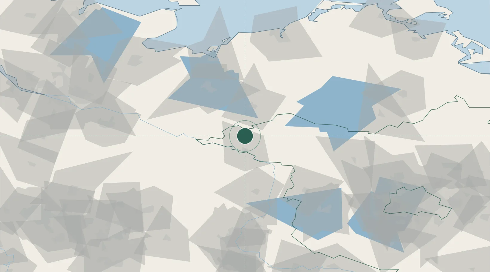
Nearby Logistics Neighbours

Cities
  1. 1Wittenberge15 km
  2. 2Zierzow16 km
  3. 3Cumlosen16 km
  4. 4Schnackenburg18 km
  5. 5Lenzen22 km
Nearest neighbours — logibook spatial index (haversine) over the source coordinates
Ports
  1. 1Wismar86 km
  2. 2Lubeck107 km
  3. 3Lubeck-Travemunde107 km
  4. 4Rostock109 km
  5. 5Neustadt122 km
Nearest neighbours — logibook spatial index (haversine) over the source coordinates
Airports
  1. 1Rostock-Laage Airport92 km
  2. 2Lübeck Blankensee Airport100 km
  3. 3Faßberg Air Base108 km
  4. 4Neubrandenburg Trollenhagen Airport115 km
  5. 5Braunschweig-Wolfsburg Airport123 km
Nearest neighbours — logibook spatial index (haversine) over the source coordinates
Trade Zones
  1. 1Freeport of Kiel168 km
  2. 2Swinoujscie Duty Free Zone186 km
  3. 3Szczecin Duty Free Zone190 km
  4. 4Freeport of Bremerhaven (Freihafen Bremerhaven)199 km
  5. 5Kostrzyń-Słubice SEZ204 km
Nearest neighbours — logibook spatial index (haversine) over the source coordinates
DatabookThe Record of Consolidated Knowledge
Germany beyond logistics?
Browse databook

All Sources

LocationsUN/LOCODE
UN/LOCODE — free
Portsthe NGA World Port Index
Public domain (US gov)
AirportsOurAirports
Public domain
Trade Zonesthe World Bank SEZ database
CC BY 4.0
Trade ZonesOpen Zone Map
CC BY
← Germany locations