Transport Functions
Multimodal
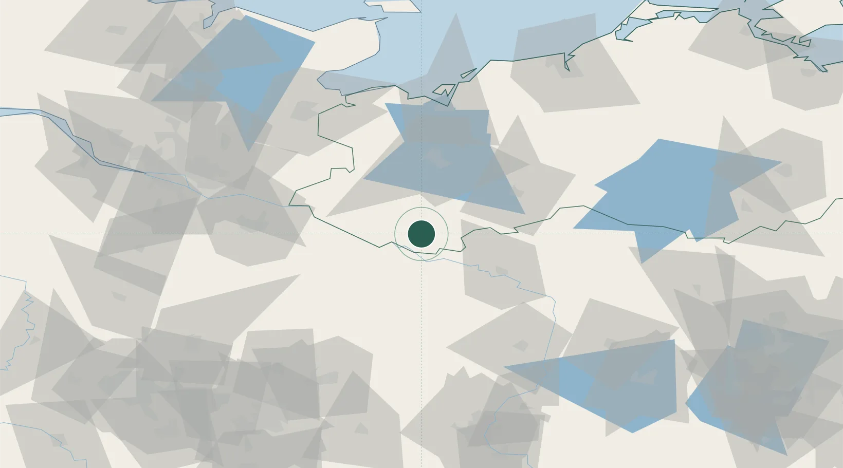
Hub Profile
Place type
Populated place
Region
Mecklenburg-Vorpommern
Population
1,427
Time zone
Europe/Berlin
Elevation
40 m
Location
Nearby Logistics Neighbours
Cities
- 1Neu Kaliss6 km
- 2Dömitz10 km
- 3Lenzen17 km
- 4Gorleben19 km
- 5Hitzacker19 km
Ports
- 1Wismar77 km
- 2Lubeck85 km
- 3Lubeck-Travemunde88 km
- 4Hamburg99 km
- 5Neustadt104 km
Airports
- 1Lübeck Blankensee Airport77 km
- 2Faßberg Air Base83 km
- 3Hamburg Helmut Schmidt Airport99 km
- 4Rostock-Laage Airport101 km
- 5Hamburg-Finkenwerder Airport104 km
Trade Zones
DatabookThe Record of Consolidated Knowledge
Germany beyond logistics?