Transport Functions
Multimodal
Hub Profile
Place type
Local administrative seat
Region
Rheinland-Pfalz
Time zone
Europe/Berlin
Elevation
315 m
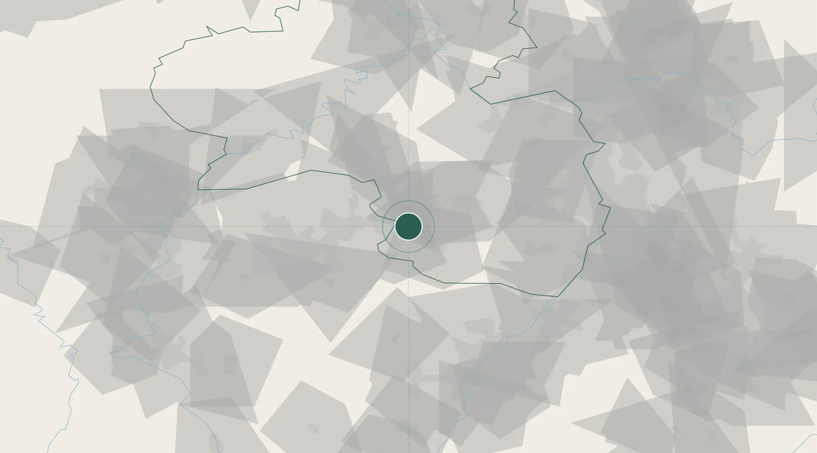
Location
Nearby Logistics Neighbours
Cities
- 1Bruchmühlbach-Miesau6 km
- 2Hauptstuhl8 km
- 3Hütschenhausen10 km
- 4Zweibrücken11 km
- 5Waldfischbach-Burgalben11 km
Airports
- 1Ramstein Air Base16 km
- 2Saarbrücken Airport28 km
- 3Phalsbourg-Bourscheid Air Base66 km
- 4Frankfurt-Hahn Airport70 km
- 5Karlsruhe Baden-Baden Airport77 km
Trade Zones
- 1ZFU La Cité Behren-lès-Forbach42 km
- 2ZFU Hautepierre84 km
- 3ZFU Neuhof91 km
- 4Luxembourg Free Port95 km
- 5ZFU Woippy-Metz97 km
DatabookThe Record of Consolidated Knowledge
Germany beyond logistics?