Transport Functions
Rail
Road
Hub Profile
Place type
Populated place
Region
Alberta
Time zone
America/Edmonton
Elevation
885 m
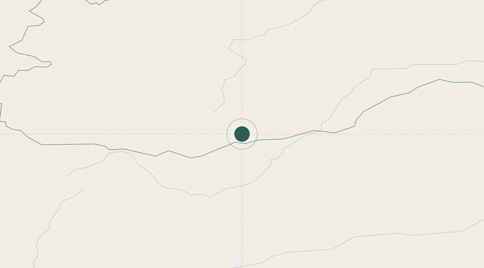
Location
Nearby Logistics Neighbours
Cities
- 1Adelschlag67 km
- 2Blankenheim247 km
- 3Schondorf am Ammersee282 km
- 4Ihrlerstein290 km
- 5Badersleben377 km
Ports
- 1Huludao Gang1229 km
- 2Jinzhou Wan1230 km
- 3Qinhuangdao1242 km
- 4Tianjin Xin Gang1275 km
- 5Tangshan (Jingtang)1291 km
Airports
- 1Bada Air Base240 km
- 2Choibalsan Airport279 km
- 3Chita-Kadala International Airport312 km
- 4Cheryomushki Air Base320 km
- 5Step Air Base332 km
Trade Zones
DatabookThe Record of Consolidated Knowledge
Canada beyond logistics?