Export Processing Zone · China

Ulanhot Economic and Technological Development Zone Active
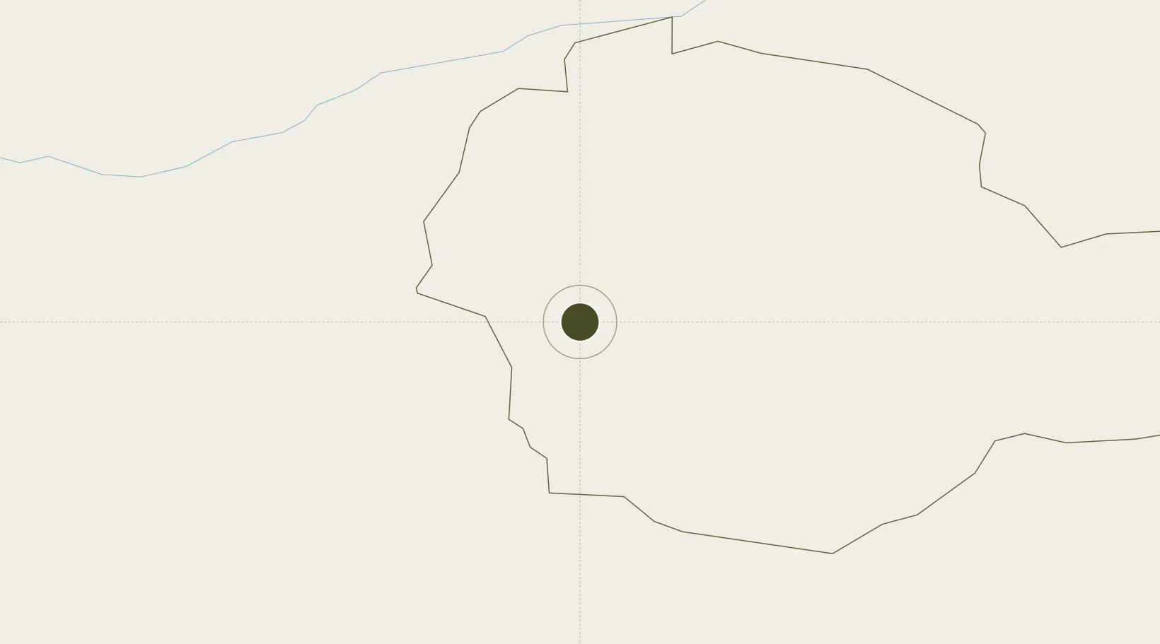
46.0649°, 112.1611°
471 ha
Zone area
911.6 km
Nearest port
108.7 km
Nearest airport

Gateway access

Nearest neighbours — logibook spatial index (haversine) over the source coordinates

Zone profile

Zone type
Export Processing Zone
Open Zone Map
Region
Sühbaatar
Open Zone Map
Status
Active
Open Zone Map
Management
Public
Open Zone Map
Operator
Management Commitiee
Open Zone Map
Legal framework
Started in 2001
Open Zone Map

Location

Location of ozm-1158
Natural Earth 10m (public domain) · Sühbaatar · ozm-1158 · 46.06, 112.16GoogleOSMYandex

Nearby Logistics Neighbours

Ports
  1. 1Qinhuangdao912 km
  2. 2Tianjin Xin Gang916 km
  3. 3Huludao Gang929 km
  4. 4Jinzhou Wan932 km
  5. 5Tangshan (Jingtang)946 km
Nearest neighbours — logibook spatial index (haversine) over the source coordinates
Airports
  1. 1Baruun Urt Airport109 km
  2. 2Shine Bulagin Hural Air Base235 km
  3. 3Erenhot Saiwusu International Airport294 km
  4. 4Choibalsan Airport297 km
  5. 5Xilinhot Airport383 km
Nearest neighbours — logibook spatial index (haversine) over the source coordinates
Cities
  1. 1Zamyn-Üüd258 km
  2. 2Erlianhaote271 km
  3. 3Schondorf am Ammersee345 km
  4. 4Adelschlag369 km
  5. 5Xilin Hot383 km
Nearest neighbours — logibook spatial index (haversine) over the source coordinates
Trade Zones
  1. 1Zamyn-Üüd Special Economic Zone262 km
  2. 2Xilin Gol Economic Development Zone385 km
  3. 3Shangdu County Chengsheng Industrial Park525 km
  4. 4Keshiketeng Circular Economy Industrial Park527 km
  5. 5Linxi Industrial Park541 km
Nearest neighbours — logibook spatial index (haversine) over the source coordinates
DatabookThe Record of Consolidated Knowledge
China beyond logistics?
Browse databook

All Sources

Trade ZonesOpen Zone Map
CC BY
Portsthe NGA World Port Index
Public domain (US gov)
AirportsOurAirports
Public domain
LocationsUN/LOCODE
UN/LOCODE — free
← China trade zones