Transport Functions
Multimodal
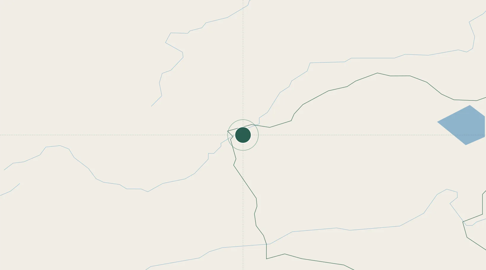
Hub Profile
Place type
Local administrative seat
Region
Bavaria
Time zone
Europe/Berlin
Elevation
442 m
Location
Nearby Logistics Neighbours
Cities
- 1Foremost67 km
- 2Schondorf am Ammersee217 km
- 3Ihrlerstein223 km
- 4Blankenheim240 km
- 5Zabaykal'sk360 km
Ports
- 1Huludao Gang1178 km
- 2Jinzhou Wan1179 km
- 3Qinhuangdao1196 km
- 4Tianjin Xin Gang1237 km
- 5Yingkou1238 km
Airports
- 1Choibalsan Airport218 km
- 2Bada Air Base284 km
- 3Step Air Base285 km
- 4Chita-Kadala International Airport301 km
- 5Chindant Air Base308 km
Trade Zones
DatabookThe Record of Consolidated Knowledge
Germany beyond logistics?